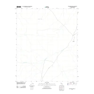
2012 Map of Porcupine Wash
USGS Topo · Published 2012About this map
Pinkham Well and the nearby Pinkham Spring serve as the primary landmarks in this arid Riverside County landscape, where water and transit have historically dictated human movement. The terrain is defined by the winding course of Porcupine Wash, which flows northeast across the center of the sheet. Transportation is limited to a few specific corridors, including the established Pinto Basin Rd and the more primitive Black Eagle Mine Rd, which hints at the region's mineral prospecting history. The vast network of seasonal drainage, most notably Smoke Tree Wash, illustrates the flash-flood character of the local geography. This 2012 survey provides a clear view of the sparse infrastructure and natural water sources that have remained essential to desert navigation for generations.
Find a feature on this map
7 named features on this map. Tap any name to fly to it.
Don’t see what you’re looking for? This feature index may not catch every label — zoom into the map to look around manually.
Map Details
Editions of this 2012 Porcupine Wash Map
This is the sole edition of this map. No revisions or reprints were ever made.
Other maps of this area

1940 · Cottonwood Spring
USGS Topo · 1:62,500

1940 · Canyon Spring
USGS Topo · 1:62,500

1943 · Canyon Spring
USGS Topo · 1:62,500

1943 · Pinkham Well
USGS Topo · 1:62,500

1944 · Cottonwood Spring
USGS Topo · 1:62,500

1944 · Pinkham Well
USGS Topo · 1:62,500

1944 · Eagle Tank
USGS Topo · 1:62,500

1954 · Salton Sea
USGS Topo · 1:250,000

1955 · Salton Sea
USGS Topo · 1:250,000
1958 · Cottonwood Spring
USGS Topo · 1:62,500