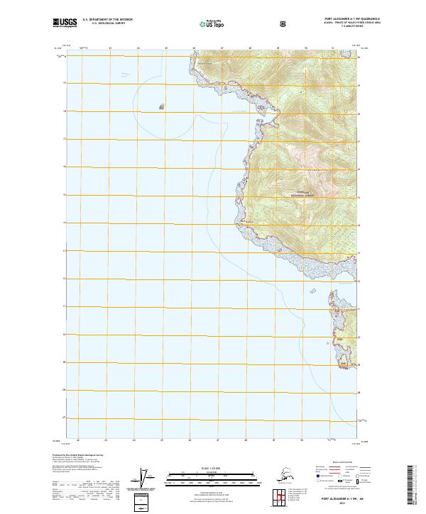
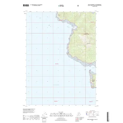
2021 Map of Port Alexander A-1 SW
USGS Topo · Published 2021About this map
Mt McArthur dominates the coastal topography of this maritime wilderness within the Tongass National Forest. The map documents the western shoreline of a larger landmass where the forest meets the expansive waters of Chatham Strait. The shoreline is punctuated by prominent landforms such as Point Crowley and Point Howard, which shelter small coastal indentations like Crowley Bight and Howard Cove. This 2021 survey utilizes modern high-resolution elevation data to trace the sharp vertical relief of the terrain, illustrating how the dense wilderness of the Tongass National Forest transitions abruptly into the deep tidal waters of Southeast Alaska. The lack of infrastructure highlights the preserved, undeveloped nature of the region, where navigation is dictated by the rugged contours of the coast and the relative safety of named coves and bights.
Find a feature on this map
14 named features on this map. Tap any name to fly to it.
Don’t see what you’re looking for? This feature index may not catch every label — zoom into the map to look around manually.
Map Details
Editions of this 2021 Port Alexander A-1 SW Map
This is the sole edition of this map. No revisions or reprints were ever made.
Other maps of this area

1948 · Port Alexander A-1
USGS Topo · 1:63,360

1948 · Port Alexander A-2
USGS Topo · 1:63,360
1948 · Craig D-7 and D-8
USGS Topo · 1:63,360

1951 · Port Alexander
USGS Topo · 1:250,000
1951 · Port Alexander A-2
USGS Topo · 1:63,360

1952 · Port Alexander
USGS Topo · 1:250,000

1957 · Craig
USGS Topo · 1:250,000

1964 · Port Alexander
USGS Topo · 1:250,000
2017 · Port Alexander A-1 NE
USGS Topo · 1:25,000
2017 · Port Alexander A-1 SW
USGS Topo · 1:25,000