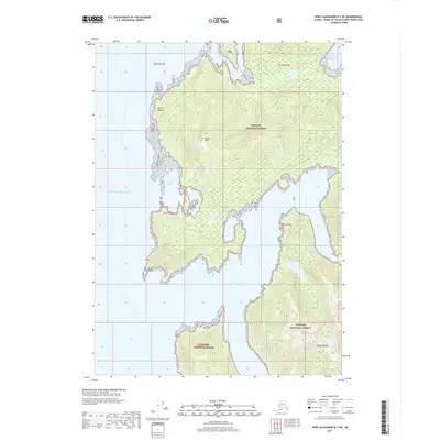
2017 Map of Port Alexander B-1 SW
USGS Topo · Published 2017About this map
Tongass National Forest dominates this coastal landscape along the Gulf of Alaska, where the shoreline is deeply incised by protected waters and prominent headlands. Navigation and coastal geography are the primary focus of this survey, which charts the rugged interface between mountainous terrain and the sea. Notable maritime landmarks include Point Cosmos to the north and Point Harris to the south, both of which frame a series of inlets including Harris Cove and Gedney Harbor. Inland, the topographic relief is defined by Green Mtn, which rises steeply above the timbered slopes of the national forest. The complex coastline continues into Port Malmesbury, a deep inlet that provides a natural corridor into the island's interior. This 2017 edition represents the modern state of these remote waterways, detailing the precise contours and hydrography of the Alaskan panhandle.
Find a feature on this map
14 named features on this map. Tap any name to fly to it.
Don’t see what you’re looking for? This feature index may not catch every label — zoom into the map to look around manually.
Map Details
Editions of this 2017 Port Alexander B-1 SW Map
This is the sole edition of this map. No revisions or reprints were ever made.
Other maps of this area

1948 · Port Alexander A-1
USGS Topo · 1:63,360

1948 · Port Alexander B-1
USGS Topo · 1:63,360

1948 · Port Alexander A-2
USGS Topo · 1:63,360

1948 · Port Alexander B-2
USGS Topo · 1:63,360

1951 · Port Alexander
USGS Topo · 1:250,000

1951 · Port Alexander B-2
USGS Topo · 1:63,360
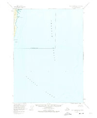
1951 · Port Alexander A-2
USGS Topo · 1:63,360

1952 · Port Alexander
USGS Topo · 1:250,000
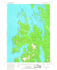
1953 · Port Alexander B-1
USGS Topo · 1:63,360

1964 · Port Alexander
USGS Topo · 1:250,000