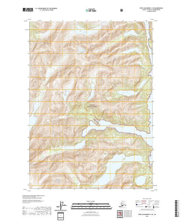
2021 Map of Port Alexander C-3 SE
USGS Topo · Published 2021About this map
Tongass National Forest dominates this coastal landscape, where the steep topography of Mt Muravief falls away into the deep inlets of the Alexander Archipelago. The southeastern portion of the map is defined by the significant freshwater expanse of Deer Lake, which sits tucked behind the shoreline of Mist Cove. To the north, Deep Cove cuts a sharp horizontal line into the landmass, creating a sheltered natural harbor typical of the Baranof Island coastline.
Find a feature on this map
16 named features on this map. Tap any name to fly to it.
Don’t see what you’re looking for? This feature index may not catch every label — zoom into the map to look around manually.
Map Details
Editions of this 2021 Port Alexander C-3 SE Map
This is the sole edition of this map. No revisions or reprints were ever made.
Other maps of this area

1948 · Port Alexander B-2
USGS Topo · 1:63,360

1951 · Port Alexander C-2
USGS Topo · 1:63,360

1951 · Port Alexander B-3 and B-4
USGS Topo · 1:63,360

1951 · Port Alexander C-3
USGS Topo · 1:63,360

1951 · Port Alexander
USGS Topo · 1:250,000

1951 · Port Alexander B-2
USGS Topo · 1:63,360

1952 · Port Alexander
USGS Topo · 1:250,000

1964 · Port Alexander
USGS Topo · 1:250,000

1994 · Port Alexander C-3
USGS Topo · 1:63,360
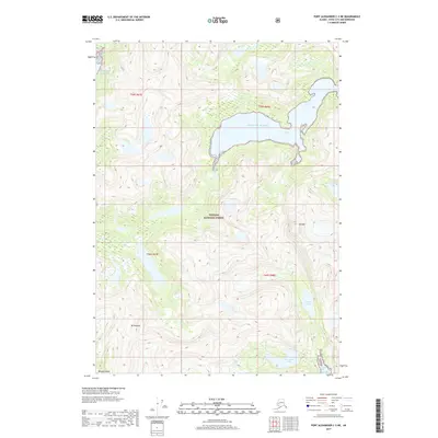
2017 · Port Alexander C-3 NE
USGS Topo · 1:25,000