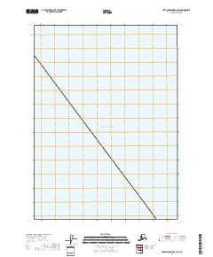
2018 Map of Port Alexander C-4 SW
USGS Topo · Published 2018About this map
The Gulf of Alaska dominates this maritime survey off the coast of Sitka, providing a record of the open water and survey boundaries as they stood in 2018. The map is primarily composed of the open sea, focused on the nautical approaches and the marine environment of the Alexander Archipelago. It provides precise Public Land Survey System data for the offshore environment, including the intersections of T60s R64e, T60s R65e, and T61s R66e. Researchers of Alaskan maritime history and surveying will find this a clear document of the official township and range delineations in these northern waters.
Find a feature on this map
5 named features on this map. Tap any name to fly to it.
Don’t see what you’re looking for? This feature index may not catch every label — zoom into the map to look around manually.
Map Details
Editions of this 2018 Port Alexander C-4 SW Map
This is the sole edition of this map. No revisions or reprints were ever made.
Other maps of this area

1951 · Port Alexander C-4
USGS Topo · 1:63,360

1951 · Port Alexander
USGS Topo · 1:250,000

1952 · Port Alexander
USGS Topo · 1:250,000

1964 · Port Alexander
USGS Topo · 1:250,000

1994 · Port Alexander C-4
USGS Topo · 1:63,360
2017 · Port Alexander C-4 NW
USGS Topo · 1:25,000
2017 · Port Alexander C-4 NE
USGS Topo · 1:25,000
2017 · Port Alexander B-4 NE
USGS Topo · 1:25,000
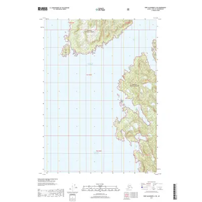
2017 · Port Alexander C-4 SE
USGS Topo · 1:25,000
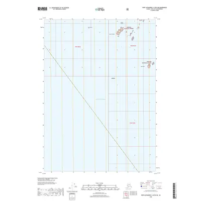
2018 · Port Alexander C-4 OE W NE
USGS Topo · 1:25,000