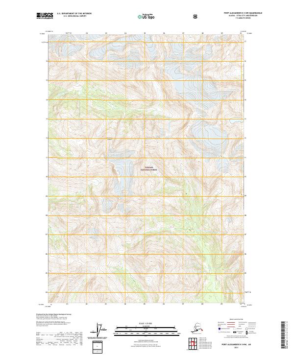
2021 Map of Port Alexander D-3 NW
USGS Topo · Published 2021About this map
Baranof Island is dominated by the steep, forested terrain of the Tongass National Forest in this southeastern Alaska survey. The landscape is defined by high elevation relief and glacial valleys, with the Vodopad River flowing through the northern portion of the quadrangle. As a modern digital representation, the map highlights the intricate hydrological network of the Alexander Archipelago, showing numerous unnamed alpine lakes and small tributaries that feed into the larger river systems. The lack of named settlements or roads reflects the wilderness character of this part of the Sitka City and Borough, where the United States Forest Service manages the vast majority of the land for conservation and natural resources.
Find a feature on this map
10 named features on this map. Tap any name to fly to it.
Don’t see what you’re looking for? This feature index may not catch every label — zoom into the map to look around manually.
Map Details
Editions of this 2021 Port Alexander D-3 NW Map
This is the sole edition of this map. No revisions or reprints were ever made.
Other maps of this area

1948 · Sitka A-3
USGS Topo · 1:63,360

1951 · Sitka
USGS Topo · 1:250,000

1951 · Port Alexander D-4
USGS Topo · 1:63,360

1951 · Port Alexander D-3
USGS Topo · 1:63,360

1951 · Port Alexander
USGS Topo · 1:250,000

1951 · Sitka A-4
USGS Topo · 1:63,360
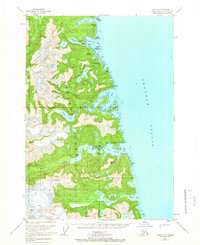
1951 · Sitka A-3
USGS Topo · 1:63,360

1952 · Port Alexander
USGS Topo · 1:250,000

1952 · Sitka
USGS Topo · 1:250,000

1954 · Sitka A-4
USGS Topo · 1:63,360