
1952 Map of Sitka
USGS Topo · Published 1953About this map
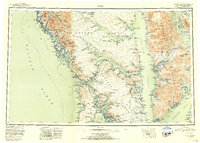
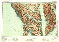
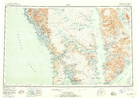
Sitka and the surrounding islands of the Alexander Archipelago are rendered in striking relief on this mid-century reconnaissance study. The landscape is defined by the labyrinthine waterways of Chatham Strait and Peril Strait, separating the mountainous masses of Chichagof Island, Baranof Island, and Admiralty Island. Evidence of early territorial industry and coastal settlement is found at Gypsum and Killisnoo, while the volcanic profile of Mt Edgecumbe dominates Kruzof Island to the west. The map details a complex maritime environment where deep inlets like Tenakee Inlet and Seymour Canal cut deep into the timbered interior of the Tongass National Forest. From the open Pacific Ocean to the protected reaches of Sitka Sound, the survey captures a network of isolated outposts and topographical landmarks that shaped the navigation and development of Southeast Alaska.
Find a feature on this map
272 named features on this map. Tap any name to fly to it.
Don’t see what you’re looking for? This feature index may not catch every label — zoom into the map to look around manually.
Map Details
Editions of this 1952 Sitka Map
4 editions found
Other maps of this area

1948 · Juneau A-3
USGS Topo · 1:63,360

1948 · Sitka B-3
USGS Topo · 1:63,360

1948 · Juneau A-4
USGS Topo · 1:63,360

1948 · Sitka D-1
USGS Topo · 1:63,360

1948 · Sitka B-1
USGS Topo · 1:63,360

1948 · Sitka A-5
USGS Topo · 1:63,360

1948 · Sitka A-3
USGS Topo · 1:63,360

1948 · Sitka C-7
USGS Topo · 1:63,360

1948 · Sitka C-2
USGS Topo · 1:63,360

1948 · Sitka A-2
USGS Topo · 1:63,360