
1951 Map of Port Alexander D-4
USGS Topo · Published 1958About this map
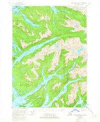
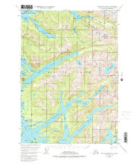
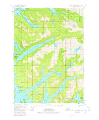
Baranof Island is defined here by its jagged shoreline and massive glacial lakes during the early 1950s. The northern edge touches the Sitka Townsite Bdy, showing the community's interface with the vast Tongass National Forest. Inland, the terrain is marked by prominent peaks such as Eureka Mountain and The Pyramids, while the waterways of Deep Inlet and West Crawfish Inlet cut deep into the landmass.
Find a feature on this map
48 named features on this map. Tap any name to fly to it.
Don’t see what you’re looking for? This feature index may not catch every label — zoom into the map to look around manually.
Map Details
Editions of this 1951 Port Alexander D-4 Map
4 editions found
Other maps of this area

1948 · Sitka A-5
USGS Topo · 1:63,360

1948 · Sitka A-3
USGS Topo · 1:63,360

1951 · Port Alexander D-5
USGS Topo · 1:63,360

1951 · Sitka
USGS Topo · 1:250,000

1951 · Port Alexander C-4
USGS Topo · 1:63,360

1951 · Port Alexander C-3
USGS Topo · 1:63,360

1951 · Port Alexander D-3
USGS Topo · 1:63,360

1951 · Port Alexander
USGS Topo · 1:250,000

1951 · Sitka A-4
USGS Topo · 1:63,360

1951 · Sitka A-5
USGS Topo · 1:63,360