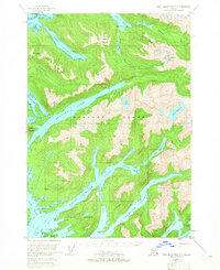
1951 Map of Port Alexander D-4
USGS Topo · Published 1965About this map
Baranof Island is defined by its deep fjords and isolated high-altitude lakes in this mid-century topographical record. This portion of the Tongass National Forest showcases a maritime landscape where the steep ascent of The Pyramids and Mt Dranishnikof meets the intricate waterways of West Crawfish Inlet and Deep Inlet. The map highlights early industrial and recreational footprints, including a Mine near the Vodopad River and a remote Cabin along the Silver Bay Trail.
Find a feature on this map
45 named features on this map. Tap any name to fly to it.
Don’t see what you’re looking for? This feature index may not catch every label — zoom into the map to look around manually.
Map Details
Editions of this 1951 Port Alexander D-4 Map
4 editions found
Other maps of this area

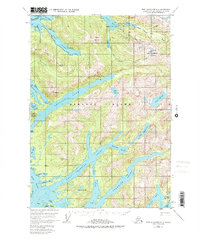
1948 · Sitka A-5
USGS Topo · 1:63,360

1948 · Sitka A-3
USGS Topo · 1:63,360

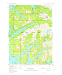
1951 · Port Alexander D-5
USGS Topo · 1:63,360

1951 · Sitka
USGS Topo · 1:250,000

1951 · Port Alexander C-4
USGS Topo · 1:63,360

1951 · Port Alexander D-4
USGS Topo · 1:63,360

1951 · Port Alexander C-3
USGS Topo · 1:63,360

1951 · Port Alexander D-3
USGS Topo · 1:63,360

1951 · Port Alexander
USGS Topo · 1:250,000

1951 · Sitka A-4
USGS Topo · 1:63,360