
1951 Map of Sitka A-4
USGS Topo · Published 1962About this map
Sitka serves as the focal point of this coastal survey, situated where the Sitka Highway meets the intricate waterways of the Alexander Archipelago. The landscape is defined by the steep transition from the glacial peaks of Baranof Island, including Mt Katlian and The Sisters, down to the sheltered waters of Katlian Bay and Silver Bay. The mapping of small islands such as Kutkan I, Katz I, and Emgeten Island reflects a maritime-dependent community where the Eastern Channel provided the primary means of transport and trade.
Find a feature on this map
71 named features on this map. Tap any name to fly to it.
Don’t see what you’re looking for? This feature index may not catch every label — zoom into the map to look around manually.
Map Details
Editions of this 1951 Sitka A-4 Map
4 editions found
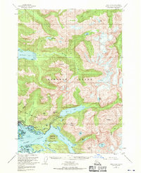
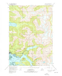
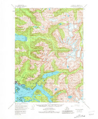
Other maps of this area

1948 · Sitka B-3
USGS Topo · 1:63,360

1948 · Sitka A-5
USGS Topo · 1:63,360

1948 · Sitka A-3
USGS Topo · 1:63,360

1948 · Sitka B-5
USGS Topo · 1:63,360

1951 · Sitka B-4
USGS Topo · 1:63,360

1951 · Sitka B-5
USGS Topo · 1:63,360

1951 · Port Alexander D-5
USGS Topo · 1:63,360

1951 · Sitka
USGS Topo · 1:250,000

1951 · Port Alexander D-4
USGS Topo · 1:63,360

1951 · Port Alexander D-3
USGS Topo · 1:63,360