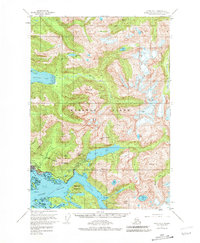
1951 Map of Sitka A-4
USGS Topo · Published 1981About this map
Sitka serves as the focal point of this coastal survey, situated between the open waters of the Eastern Channel and the steep rise of Mt Verstovia. The landscape is a complex network of glacial valleys and islands, where the Indian River meets Crescent Bay near the historic Sitka Nat Mon. Inland, the terrain is dominated by significant elevations such as Mt Katlian and Clarence Kramer Peak, which overlook deep freshwater bodies like Blue Lake and Bear Lake.
Find a feature on this map
76 named features on this map. Tap any name to fly to it.
Don’t see what you’re looking for? This feature index may not catch every label — zoom into the map to look around manually.
Map Details
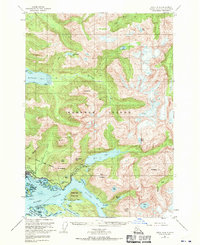
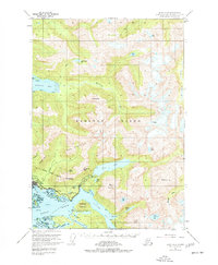
Editions of this 1951 Sitka A-4 Map
4 editions found

Other maps of this area

1948 · Sitka B-3
USGS Topo · 1:63,360

1948 · Sitka A-5
USGS Topo · 1:63,360

1948 · Sitka A-3
USGS Topo · 1:63,360

1948 · Sitka B-5
USGS Topo · 1:63,360

1951 · Sitka B-4
USGS Topo · 1:63,360

1951 · Sitka B-5
USGS Topo · 1:63,360

1951 · Port Alexander D-5
USGS Topo · 1:63,360

1951 · Sitka
USGS Topo · 1:250,000

1951 · Port Alexander D-4
USGS Topo · 1:63,360

1951 · Port Alexander D-3
USGS Topo · 1:63,360