
1948 Map of Sitka B-5
USGS Topo · Published 1963About this map
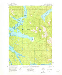
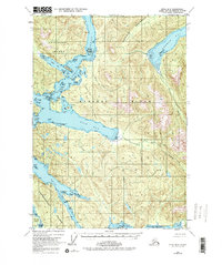
The intricate waterways of Peril Strait and Neva Strait dominate this 1948 topographic study of the Alexander Archipelago. This coastal landscape, situated within the Tongass National Forest, reveals the complex maritime geography between Baranof Island, Chichagof Island, and Partoshof Island. Navigational hazards and features are meticulously noted, from the turbulent waters of Sergius Narrows and Goal Rapids to specific maritime landmarks like W Francis Rock and Liesnoi Shoal. Small pockets of human presence appear as isolated Cabins and the Highwater Cabin, emphasizing the reliance on shoreline access in this roadless terrain. The map also details the sheltered reaches of Suloia Bay and Deep Bay, providing a clear view of the timbered peninsulas and tidal flats as they existed in the mid-twentieth century.
Find a feature on this map
69 named features on this map. Tap any name to fly to it.
Don’t see what you’re looking for? This feature index may not catch every label — zoom into the map to look around manually.
Map Details
Editions of this 1948 Sitka B-5 Map
3 editions found
Other maps of this area

1948 · Sitka A-5
USGS Topo · 1:63,360

1948 · Sitka C-6
USGS Topo · 1:63,360

1951 · Sitka B-4
USGS Topo · 1:63,360

1951 · Sitka C-5
USGS Topo · 1:63,360

1951 · Sitka A-6
USGS Topo · 1:63,360

1951 · Sitka B-6
USGS Topo · 1:63,360

1951 · Sitka C-4
USGS Topo · 1:63,360

1951 · Sitka B-5
USGS Topo · 1:63,360

1951 · Sitka
USGS Topo · 1:250,000

1951 · Sitka A-4
USGS Topo · 1:63,360