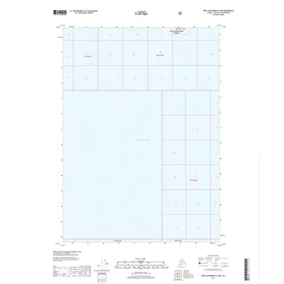
2017 Map of Port Alexander D-5 NW
USGS Topo · Published 2017About this map
Tongass National Forest dominates the northern and eastern portions of this coastal landscape, representing a vast area of federally managed wilderness. The terrain is defined by its interface with the Gulf of Alaska, which occupies the southwestern quadrant of the map. A notable landmark in these waters is Vitskari Island, situated in the northwestern corner. The map provides a detailed view of the Public Land Survey System grid, specifically identifying townships such as t56s r61e, t56s r62e, t57s r63e, t58s r62e, and t58s r63e. This 2017 survey illustrates the intersection of maritime reaches and protected forest lands in a region primarily accessible by sea or air.
Find a feature on this map
8 named features on this map. Tap any name to fly to it.
Don’t see what you’re looking for? This feature index may not catch every label — zoom into the map to look around manually.
Map Details
Editions of this 2017 Port Alexander D-5 NW Map
This is the sole edition of this map. No revisions or reprints were ever made.
Other maps of this area

1948 · Sitka A-5
USGS Topo · 1:63,360

1951 · Sitka A-6
USGS Topo · 1:63,360

1951 · Port Alexander D-5
USGS Topo · 1:63,360

1951 · Sitka
USGS Topo · 1:250,000

1951 · Port Alexander
USGS Topo · 1:250,000

1951 · Sitka A-5
USGS Topo · 1:63,360

1952 · Port Alexander
USGS Topo · 1:250,000

1952 · Sitka
USGS Topo · 1:250,000

1964 · Sitka
USGS Topo · 1:250,000

1964 · Port Alexander
USGS Topo · 1:250,000