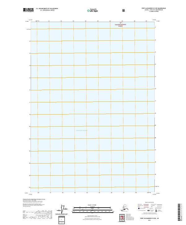
2021 Map of Port Alexander D-5 NW
USGS Topo · Published 2021About this map
The Gulf of Alaska dominates this 2021 topographic study, which maps a remote maritime and forest boundary within the Tongass National Forest. Located in the Sitka City and Borough region, the sheet is characterized by its significant marine area, representing a point where the open Pacific waters meet the protected federal lands of southeast Alaska. The map layout is defined primarily by the Public Land Survey System grid, showing the intersections of t56s r61e, t56s r62e, and t57s r63e. While the map lacks terrestrial landmarks or named coastal features, it provides a precise modern record of the jurisdictional boundaries between the national forest and the open sea, which is essential for marine navigation and land management in this Alaskan wilderness.
Find a feature on this map
7 named features on this map. Tap any name to fly to it.
Don’t see what you’re looking for? This feature index may not catch every label — zoom into the map to look around manually.
Map Details
Editions of this 2021 Port Alexander D-5 NW Map
This is the sole edition of this map. No revisions or reprints were ever made.
Other maps of this area

1948 · Sitka A-5
USGS Topo · 1:63,360

1951 · Sitka A-6
USGS Topo · 1:63,360

1951 · Port Alexander D-5
USGS Topo · 1:63,360

1951 · Sitka
USGS Topo · 1:250,000

1951 · Port Alexander
USGS Topo · 1:250,000

1951 · Sitka A-5
USGS Topo · 1:63,360

1952 · Port Alexander
USGS Topo · 1:250,000

1952 · Sitka
USGS Topo · 1:250,000

1964 · Sitka
USGS Topo · 1:250,000

1964 · Port Alexander
USGS Topo · 1:250,000