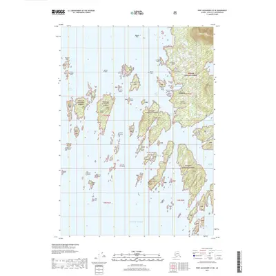
2017 Map of Port Alexander D-5 SE
USGS Topo · Published 2017About this map
Goddard sits along the eastern shore of this coastal Alaskan landscape, where the Tongass National Forest meets the saltwater of the North Pacific. The terrain is defined by a dense archipelago and deep inlets, including Kliuchevoi Bay and Hot Springs Bay, which carve into the Kliuchef Peninsula. To the north, the elevation rises sharply toward Mt Kliuchef, while inland, Redoubt Lake forms a significant freshwater body just behind the coast.
Find a feature on this map
51 named features on this map. Tap any name to fly to it.
Don’t see what you’re looking for? This feature index may not catch every label — zoom into the map to look around manually.
Map Details
Editions of this 2017 Port Alexander D-5 SE Map
This is the sole edition of this map. No revisions or reprints were ever made.
Other maps of this area

1951 · Port Alexander D-5
USGS Topo · 1:63,360

1951 · Port Alexander C-4
USGS Topo · 1:63,360

1951 · Port Alexander D-4
USGS Topo · 1:63,360

1951 · Port Alexander
USGS Topo · 1:250,000

1952 · Port Alexander
USGS Topo · 1:250,000

1964 · Port Alexander
USGS Topo · 1:250,000

1994 · Port Alexander C-4
USGS Topo · 1:63,360
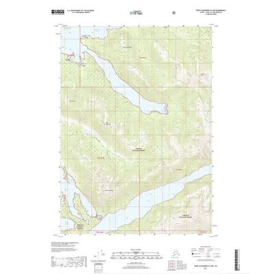
2017 · Port Alexander D-4 NW
USGS Topo · 1:25,000
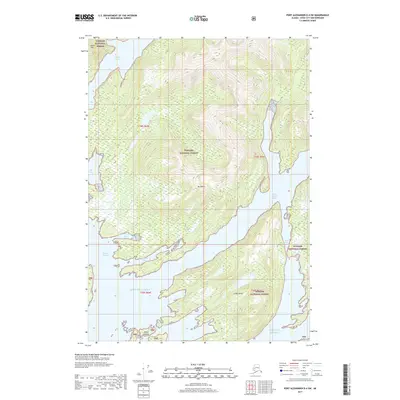
2017 · Port Alexander D-4 SW
USGS Topo · 1:25,000
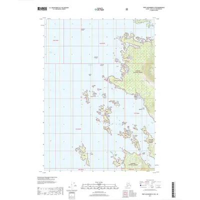
2017 · Port Alexander D-5 NE
USGS Topo · 1:25,000