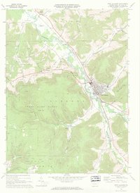
1969 Map of Port Allegany
USGS Topo · Published 1972About this map
Port Allegany serves as the industrial and social hub of this McKean County landscape, situated where the Allegheny River meets Lillibridge Creek and Portage Creek. The town's mid-century infrastructure is visible in detail, from the Water Tanks and Sewage Disposal plants to local schools like Liberty Sch and High Sch. The Penn Central corridor parallels the river, facilitating the movement of resources through the valley.
Find a feature on this map
50 named features on this map. Tap any name to fly to it.
Don’t see what you’re looking for? This feature index may not catch every label — zoom into the map to look around manually.
Map Details
Editions of this 1969 Port Allegany Map
2 editions found
Other maps of this area

1933 · Smethport
USGS Topo · 1:62,500

1934 · Coudersport
USGS Topo · 1:48,000

1937 · Smethport
USGS Topo · 1:62,500

1938 · Coudersport
USGS Topo · 1:62,500

1948 · Crosby
USGS Topo · 1:62,500

1948 · Emporium
USGS Topo · 1:62,500

1948 · Keating Summit
USGS Topo · 1:24,000

1948 · Norwich
USGS Topo · 1:24,000
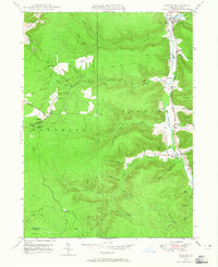
1948 · Crosby
USGS Topo · 1:24,000
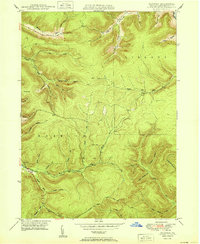
1950 · Norwich
USGS Topo · 1:24,000