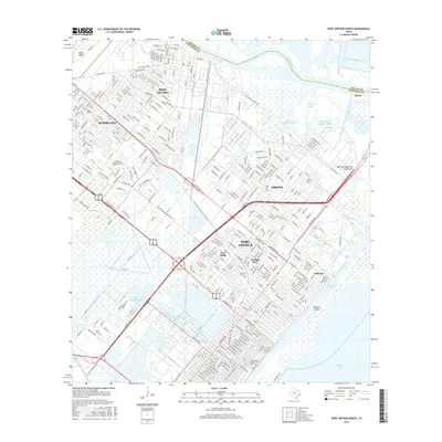
2016 Map of Port Arthur North
USGS Topo · Published 2016About this map
The industrial and maritime landscape of the Gulf Coast is on full display in this detailed study of the waterway network connecting the Neches River to Sabine Lake. The urban corridor of Port Arthur dominates the southern half of the sheet, characterized by the dense street grids of neighborhood enclaves like Pear Ridge, Griffing Park, and Lakeview. A significant portion of the city's academic and cultural identity is represented by Lamar State College-Port Arthur near the southern shore.
Find a feature on this map
339 named features on this map. Tap any name to fly to it.
Don’t see what you’re looking for? This feature index may not catch every label — zoom into the map to look around manually.
Map Details
Editions of this 2016 Port Arthur North Map
This is the sole edition of this map. No revisions or reprints were ever made.
Other maps of this area

1926 · Terry
USGS Topo · 1:24,000

1926 · Vidor
USGS Topo · 1:24,000

1932 · Beaumont
USGS Topo · 1:62,500

1932 · Port Arthur NE
USGS Topo · 1:31,680

1943 · West of Johnson Bayou
USGS Topo · 1:24,000

1943 · West of Greens Bayou
USGS Topo · 1:24,000

1943 · Orangefield
USGS Topo · 1:24,000

1943 · Port Arthur North
USGS Topo · 1:24,000

1943 · Terry
USGS Topo · 1:24,000

1943 · Port Arthur South
USGS Topo · 1:24,000