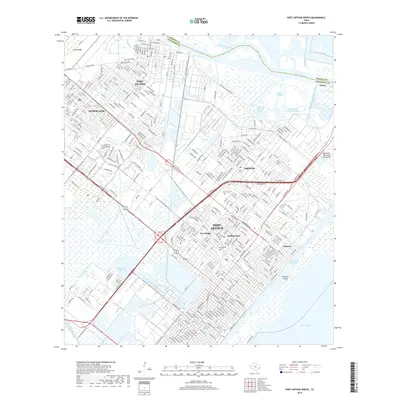
2019 Map of Port Arthur North
USGS Topo · Published 2019About this map
Port Arthur and its surrounding communities are defined by the intricate network of industrial waterways and bayous near the Gulf Coast. The Neches River flows along the eastern edge, bordered by the Intracoastal Waterway and the Sabine Neches Canal, facilitating the region's maritime commerce. In-town neighborhoods like Pear Ridge, Griffing Park, and Lakeview reflect the urban development between Nederland and Groves. Significant landmarks include the Veterans Memorial Monument and the Port Arthur Reservoir, while industrial sites like Atreco and Smith Bluff highlight the area's economic foundations. Local history is anchored by sites like Calvary Cem and Johnson Cem, while the Kansas City Southern RR provides a landward connection to the coastal infrastructure.
Find a feature on this map
332 named features on this map. Tap any name to fly to it.
Don’t see what you’re looking for? This feature index may not catch every label — zoom into the map to look around manually.
Map Details
Editions of this 2019 Port Arthur North Map
This is the sole edition of this map. No revisions or reprints were ever made.
Other maps of this area

1926 · Terry
USGS Topo · 1:24,000

1926 · Vidor
USGS Topo · 1:24,000

1932 · Beaumont
USGS Topo · 1:62,500

1932 · Port Arthur NE
USGS Topo · 1:31,680

1943 · West of Johnson Bayou
USGS Topo · 1:24,000

1943 · West of Greens Bayou
USGS Topo · 1:24,000

1943 · Orangefield
USGS Topo · 1:24,000

1943 · Port Arthur North
USGS Topo · 1:24,000

1943 · Terry
USGS Topo · 1:24,000

1943 · Port Arthur South
USGS Topo · 1:24,000