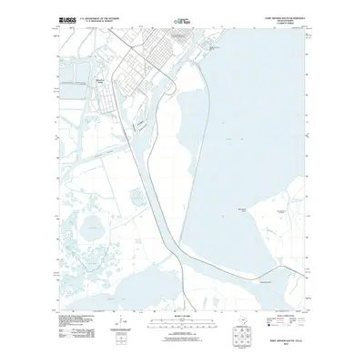
2010 Map of Port Arthur South
USGS Topo · Published 2010About this map
The industrial and maritime landscape of West Port Arthur dominates this 2010 survey, illustrating the complex intersection of the Texas coast and heavy energy infrastructure. The map details the intensive channelization of the region, where the Intracoastal Waterway and the Sabine Neches Canal facilitate deep-water access for the petrochemical industry. This engineered environment is anchored by Texaco Island and the Blue Buck Point Gas Field, showcasing the scale of resource extraction and transport that defines this portion of Jefferson County.
Find a feature on this map
28 named features on this map. Tap any name to fly to it.
Don’t see what you’re looking for? This feature index may not catch every label — zoom into the map to look around manually.
Map Details
Editions of this 2010 Port Arthur South Map
This is the sole edition of this map. No revisions or reprints were ever made.
Other maps of this area

1932 · Sabine Pass NE
USGS Topo · 1:31,680

1932 · Port Arthur NE
USGS Topo · 1:31,680

1943 · West of Johnson Bayou
USGS Topo · 1:24,000

1943 · West of Greens Bayou
USGS Topo · 1:24,000

1943 · Port Arthur North
USGS Topo · 1:24,000

1943 · Port Arthur South
USGS Topo · 1:24,000

1944 · Sabine Pass
USGS Topo · 1:31,680

1944 · Texas Point
USGS Topo · 1:31,680
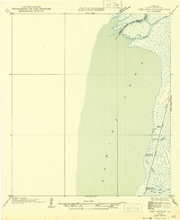
1946 · Port Arthur NE
USGS Topo · 1:31,680
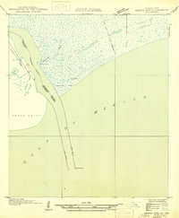
1946 · Sabine Pass NE
USGS Topo · 1:31,680