
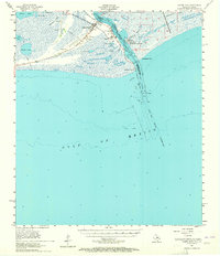
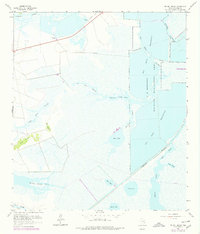
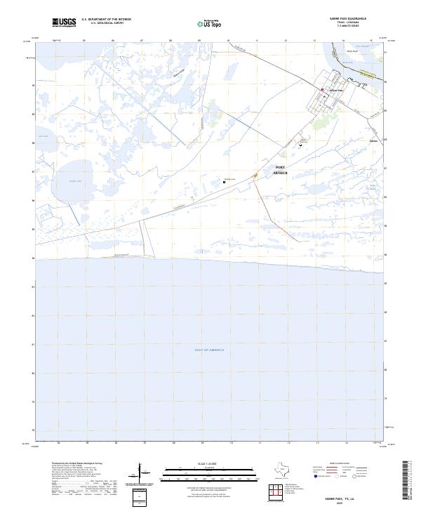
1944 Map of Sabine Pass
USGS Topo · Published 1944About this map
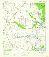
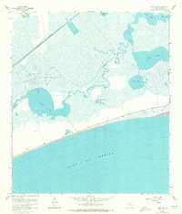
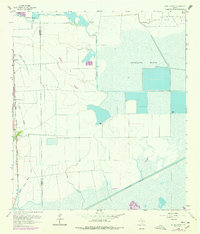
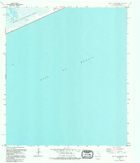
Sabine Pass dominates this coastal landscape at the mouth of the Sabine River during the mid-1940s. The settlement's street grid and structures are clearly defined alongside the waterway, showing the area's development before modern shoreline changes. Extensive wetlands and numerous lakes, including Knight Lake and Keith Lake, characterize the low-lying terrain north of the Gulf of Mexico. Historical researchers will find significant family and local history markers such as Pace Cem and Mc Gaffey Cem situated along the main road, which is labeled as route 87. The map also captures the intricate network of coastal inlets like Red Fish Bayou and the rise of Wildcat Ridge, providing a clear record of the Jefferson County coast just as modern industrial expansion was taking shape in the region.
Find a feature on this map
18 named features on this map. Tap any name to fly to it.
Don’t see what you’re looking for? This feature index may not catch every label — zoom into the map to look around manually.
Map Details
Editions of this 1944 Sabine Pass Map
This is the sole edition of this map. No revisions or reprints were ever made.
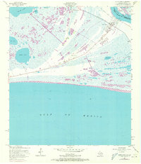
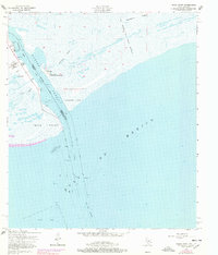
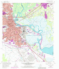
Historical Maps of Port Arthur Through Time
60 maps found

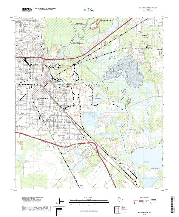
1943 Beaumont East
Jefferson County, TX
1943 Fannett East
Jefferson County, TX

1943 Port Arthur North
Jefferson County, TX
1943 Port Arthur South
Jefferson County, TX
1944 Sabine Pass
Jefferson County, TX

1944 Texas Point
Jefferson County, TX

1945 Fannett East
Jefferson County, TX

1945 Nolte
Jefferson County, TX
1957 Port Arthur North
Jefferson County, TX
1957 Port Arthur South
Jefferson County, TX
1957 Sabine Pass
Jefferson County, TX
1957 Sabine Pass
Jefferson County, TX
1957 Texas Point
Jefferson County, TX
1960 Beaumont East
Jefferson County, TX
1960 Beaumont West
Jefferson County, TX
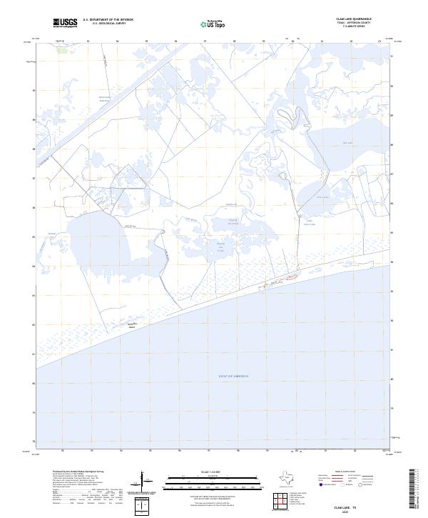
1961 Clam Lake
Jefferson County, TX
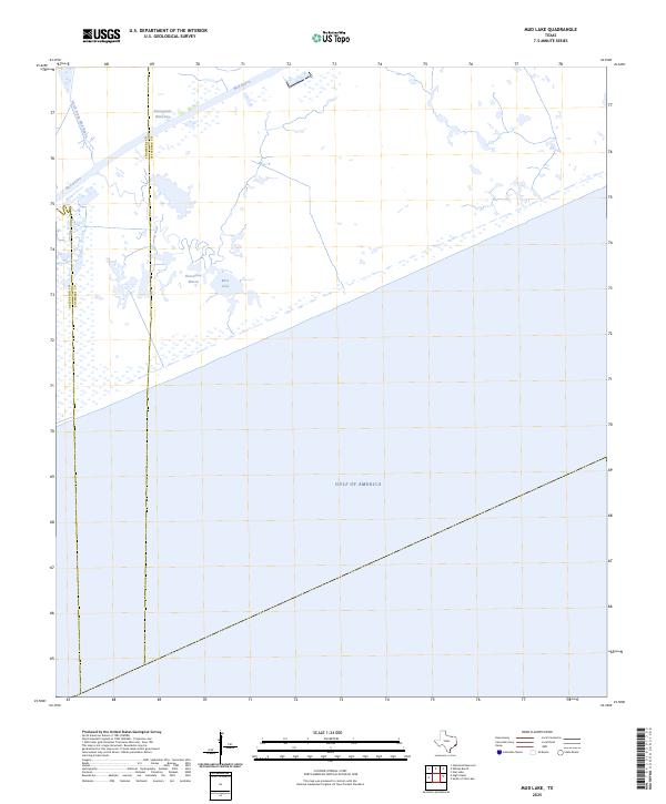
1961 Mud Lake
Jefferson County, TX
1961 Star Lake
Jefferson County, TX

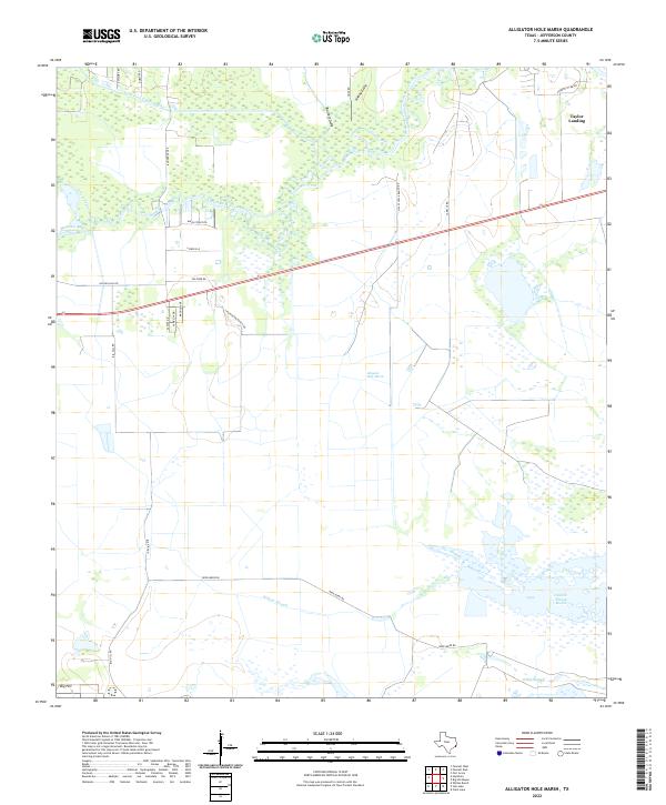
1962 Alligator Hole Marsh
Jefferson County, TX
1962 Big Hill Bayou
Jefferson County, TX

1962 Fannett East
Jefferson County, TX
1962 Fannett West
Jefferson County, TX
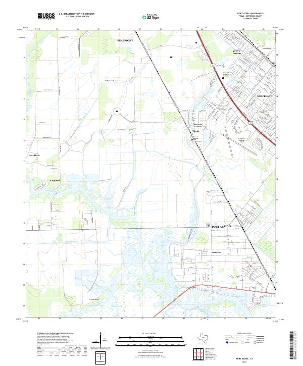
1962 Port Acres
Jefferson County, TX
1962 South of Star Lake
Jefferson County, TX
1962 Whites Ranch
Jefferson County, TX
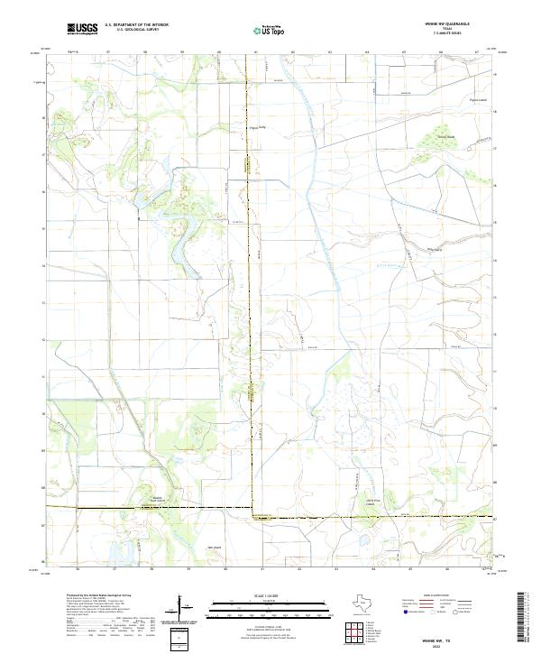
1962 Winnie NW
Jefferson County, TX

1993 Alligator Hole Marsh
Jefferson County, TX

1993 Big Hill Bayou
Jefferson County, TX
1993 Clam Lake
Jefferson County, TX

1993 Fannett West
Jefferson County, TX

1993 Port Acres
Jefferson County, TX

1993 Port Arthur North
Jefferson County, TX

1993 Port Arthur South
Jefferson County, TX

1993 Sabine Pass
Jefferson County, TX

1993 Texas Point
Jefferson County, TX
1993 Whites Ranch
Jefferson County, TX

1994 Beaumont East
Jefferson County, TX

1994 Beaumont West
Jefferson County, TX

1994 Fannett East
Jefferson County, TX

1994 Mud Lake
Jefferson County, TX
1994 South of Star Lake
Jefferson County, TX
1994 Star Lake
Jefferson County, TX

1994 Winnie NW
Jefferson County, TX
2022 Alligator Hole Marsh
Jefferson County, TX
2022 Beaumont East
Jefferson County, TX
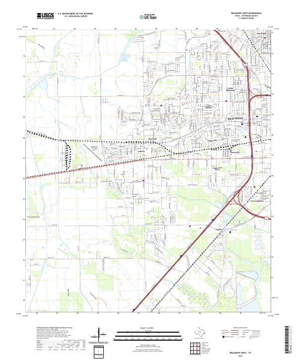
2022 Beaumont West
Jefferson County, TX
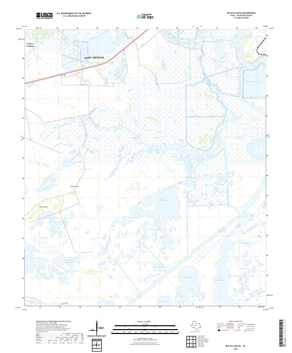
2022 Big Hill Bayou
Jefferson County, TX
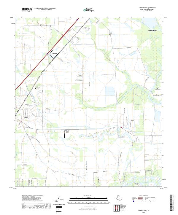
2022 Fannett East
Jefferson County, TX
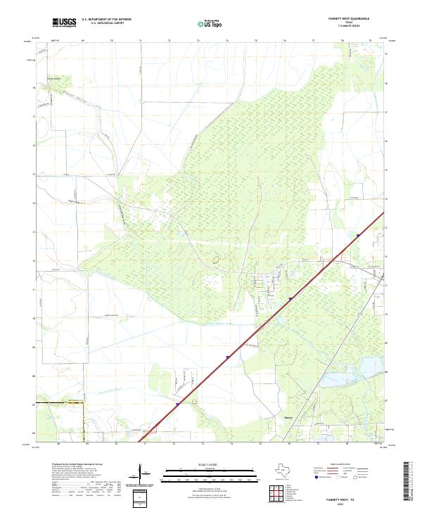
2022 Fannett West
Jefferson County, TX
2022 Port Acres
Jefferson County, TX
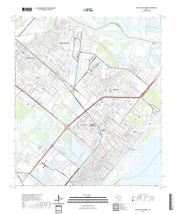
2022 Port Arthur North
Jefferson County, TX
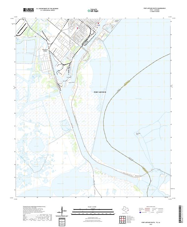
2022 Port Arthur South
Jefferson County, TX
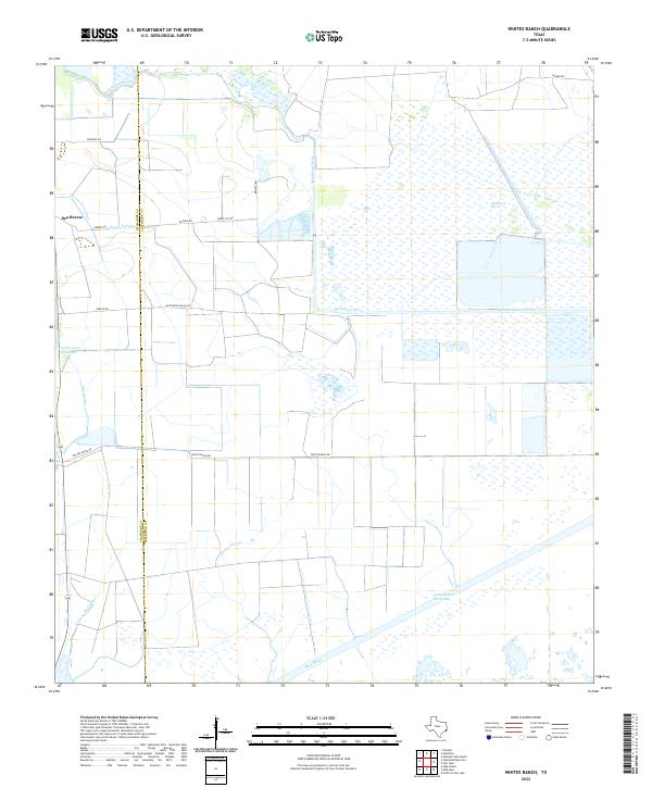
2022 Whites Ranch
Jefferson County, TX
2022 Winnie NW
Jefferson County, TX
2025 Clam Lake
Jefferson County, TX
2025 Mud Lake
Jefferson County, TX
2025 Sabine Pass
Jefferson County, TX
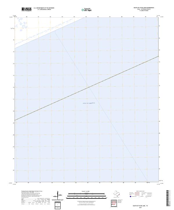
2025 South of Star Lake
Jefferson County, TX
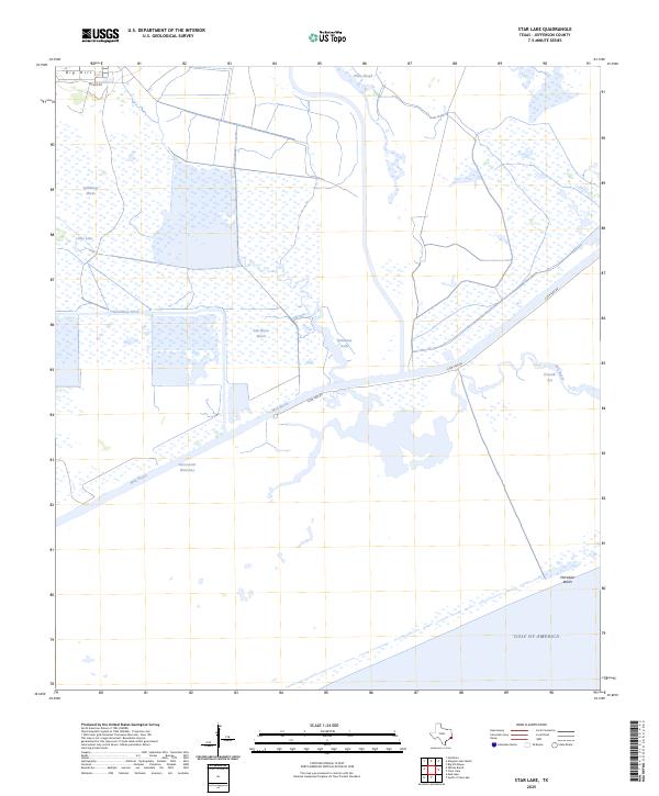
2025 Star Lake
Jefferson County, TX
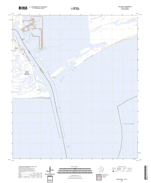
2025 Texas Point
Jefferson County, TX