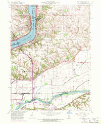
1953 Map of Port Byron
USGS Topo · Published 1971About this map
The Mississippi River and Rock River dominate this landscape, defining the borders between Illinois and Iowa as well as Rock Island and Henry Counties. The river-driven economy of the mid-20th century is evident through the placement of a gaging station and a substation near Rapids City. This survey reflects a well-established rural social structure, with a high density of country schools including Sycamore School, Leafy Bower School, and Zuma School scattered across the uplands of Coe and Zuma townships.
Find a feature on this map
49 named features on this map. Tap any name to fly to it.
Don’t see what you’re looking for? This feature index may not catch every label — zoom into the map to look around manually.
Map Details
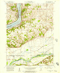
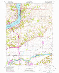
Editions of this 1953 Port Byron Map
Other maps of this area

1892 · Leclaire
USGS Topo · 1:62,500

1893 · Leclaire
USGS Topo · 1:62,500

1899 · Clinton
USGS Topo · 1:125,000

1934 · Geneseo
USGS Topo · 1:62,500

1937 · Orion
USGS Topo · 1:62,500

1949 · Coal Valley
USGS Topo · 1:24,000

1949 · Silvis
USGS Topo · 1:24,000

1949 · Port Byron
USGS Topo · 1:24,000

1950 · Port Byron
USGS Topo · 1:24,000

1952 · Erie
USGS Topo · 1:62,500