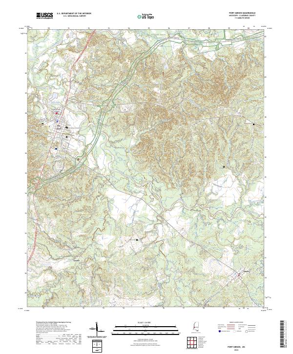
2024 Map of Port Gibson
USGS Topo · Published 2024About this map
Port Gibson serves as the central hub of this Mississippi landscape, where the confluence of several waterways and the legacy of the historic frontier route converge. The Claiborne County Courthouse stands at the town’s core, surrounded by a high density of burial grounds including the Wintergreen Cem, Jewish Cem, and Port Gibson Catholic Cem. These sites, along with the outlying Wilson Cem and Douglass Cem, offer significant primary data for genealogical researchers tracing early families in the region.
Find a feature on this map
76 named features on this map. Tap any name to fly to it.
Don’t see what you’re looking for? This feature index may not catch every label — zoom into the map to look around manually.
Map Details
Editions of this 2024 Port Gibson Map
This is the sole edition of this map. No revisions or reprints were ever made.
Other maps of this area

1939 · Yokena
USGS Topo · 1:62,500

1939 · Lorman
USGS Topo · 1:62,500

1953 · Natchez
USGS Topo · 1:250,000

1955 · Jackson
USGS Topo · 1:250,000

1956 · Natchez
USGS Topo · 1:250,000

1958 · St. Joseph
USGS Topo · 1:62,500

1959 · Natchez
USGS Topo · 1:250,000

1961 · Jackson
USGS Topo · 1:250,000

1962 · Jackson
USGS Topo · 1:250,000

1963 · Carlisle
USGS Topo · 1:24,000