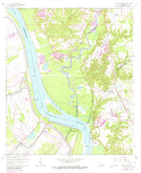
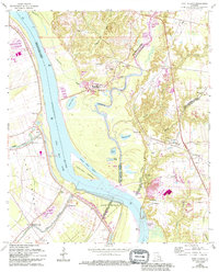
1963 Map of Port Hudson
USGS Topo · Published 1980About this map
Port Hudson sits prominently on the eastern bluffs of the Mississippi River, marking a historically significant bend where the river meets the mouth of Thompson Creek. This landscape is defined by the complex shifting of the river channel, evidenced by the large oxbow of False River and the low-lying reaches of Fancy Point Chute. The topography transitions sharply from the alluvial plains of Pointe Coupee Parish in the west to the dissected uplands of East Feliciana Parish and East Baton Rouge Parish in the east.
Find a feature on this map
62 named features on this map. Tap any name to fly to it.
Don’t see what you’re looking for? This feature index may not catch every label — zoom into the map to look around manually.
Map Details
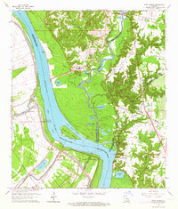
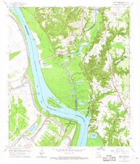
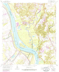
Editions of this 1963 Port Hudson Map
5 editions found
Other maps of this area

1906 · Bayou Sara
USGS Topo · 1:125,000

1939 · St. Francisville
USGS Topo · 1:62,500

1939 · Zachary
USGS Topo · 1:62,500

1945 · Jackson
USGS Topo · 1:31,680

1953 · New Roads
USGS Topo · 1:24,000

1954 · Zachary
USGS Topo · 1:24,000

1954 · Port Hudson
USGS Topo · 1:24,000

1954 · Walls
USGS Topo · 1:24,000

1954 · Elm Park
USGS Topo · 1:24,000
1954 · Scotlandville
USGS Topo · 1:24,000