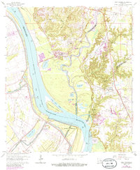
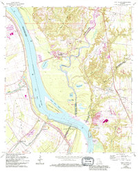
1963 Map of Port Hudson
USGS Topo · Published 1986About this map
Mississippi River hydrology and the complex parish boundaries of the Louisiana river country define this landscape during the mid-20th century. The intricate shoreline features include the False River Cutoff and the Fancy Point Chute, which isolate several landforms like Fancy Point Towhead and Point Menoir. On the eastern bluffs, the village of Port Hudson and the Port Hudson Natl Cem overlook the river valley, marking a site of significant regional importance.
Find a feature on this map
56 named features on this map. Tap any name to fly to it.
Don’t see what you’re looking for? This feature index may not catch every label — zoom into the map to look around manually.
Map Details
Editions of this 1963 Port Hudson Map
5 editions found
Other maps of this area

1906 · Bayou Sara
USGS Topo · 1:125,000

1939 · St. Francisville
USGS Topo · 1:62,500

1939 · Zachary
USGS Topo · 1:62,500

1945 · Jackson
USGS Topo · 1:31,680

1953 · New Roads
USGS Topo · 1:24,000

1954 · Zachary
USGS Topo · 1:24,000

1954 · Port Hudson
USGS Topo · 1:24,000

1954 · Walls
USGS Topo · 1:24,000

1954 · Elm Park
USGS Topo · 1:24,000
1954 · Scotlandville
USGS Topo · 1:24,000