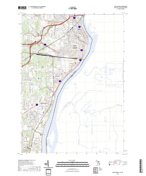
2023 Map of Port Huron
USGS Topo · Published 2023About this map
The Saint Clair River forms the international boundary with Canada, defining the eastern edge of this Michigan landscape. Concentrated urban development spreads across Port Huron and south into Marysville, where the street grid adapts to the river’s curves and the path of the Black River. Notable civic infrastructure is visible through the Saint Clair County Building and the campus of Saint Clair County Community College.
Find a feature on this map
84 named features on this map. Tap any name to fly to it.
Don’t see what you’re looking for? This feature index may not catch every label — zoom into the map to look around manually.
Map Details
Editions of this 2023 Port Huron Map
This is the sole edition of this map. No revisions or reprints were ever made.
Other maps of this area

1912 · Port Huron
USGS Topo · 1:62,500

1928 · Hicky
USGS Topo · 1:62,500

1929 · Port Huron
USGS Topo · 1:62,500

1936 · St. Clair
USGS Topo · 1:31,680

1936 · Rattle Run
USGS Topo · 1:31,680

1939 · Port Huron
USGS Topo · 1:24,000

1939 · St. Clair
USGS Topo · 1:24,000

1939 · Smiths Creek
USGS Topo · 1:24,000

1942 · Rattle Run
USGS Topo · 1:24,000
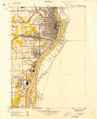
1949 · Port Huron
USGS Topo · 1:24,000