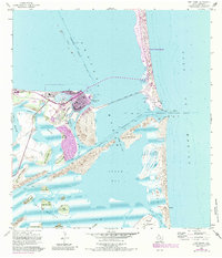
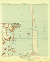
1955 Map of Port Isabel
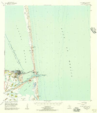
USGS Topo · Published 1984About this map
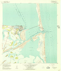
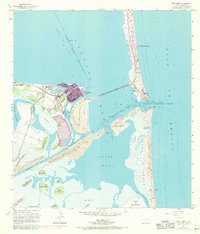
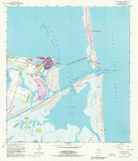
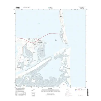
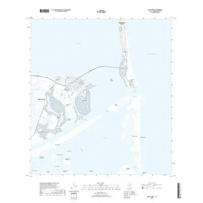
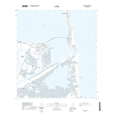
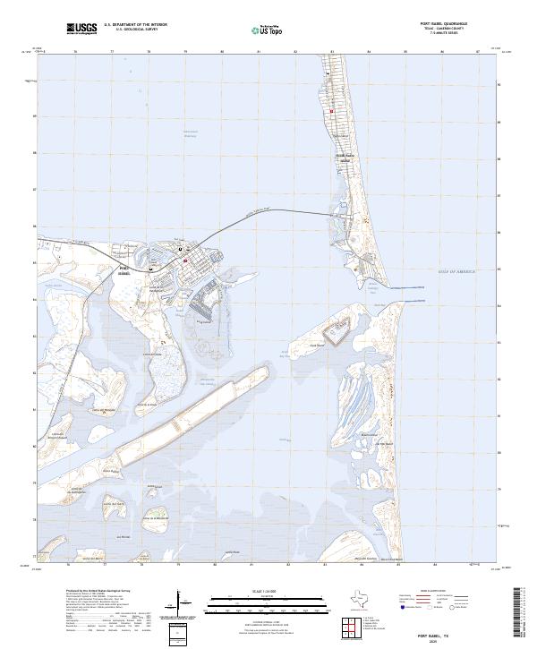
Port Isabel serves as the focal point of this coastal survey, where the Intracoastal Waterway meets the deep-water Brownsville Ship Channel. The landscape is defined by the complex hydrography of the Laguna Madre and the transition to the Gulf of Mexico through the Brazos Santiago Pass. Significant mid-century development is visible around Laguna Heights and the southern tip of South Padre Island, including the Queen Isabella State Fishing Pier and the recreation areas at Isla Blanca Park. South of the ship channel, the terrain remains largely dominated by tidal flats and numerous lomas, or clay dunes, such as Loma de la Falangana and Loma del Islote. These natural elevations stand out against the Shifting Sand Dunes of Brazos Island and the marshes of South Bay, illustrating the traditional maritime and ranching geography of the Lower Rio Grande Valley coastline.
Find a feature on this map
46 named features on this map. Tap any name to fly to it.
Don’t see what you’re looking for? This feature index may not catch every label — zoom into the map to look around manually.
Map Details
Editions of this 1955 Port Isabel Map
4 editions found
Historical Maps of Port Isabel Through Time
10 maps found
1934 Port Isabel
Cameron County, TX
1955 Port Isabel
Cameron County, TX
1955 Port Isabel
Cameron County, TX

1956 Port Isabel
Cameron County, TX
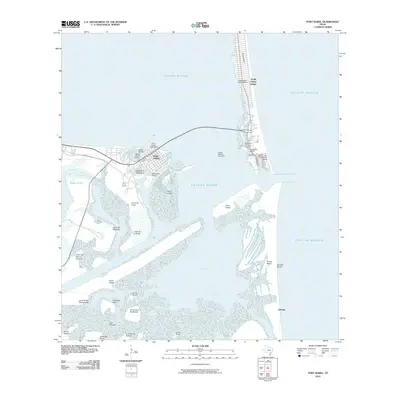
2010 Port Isabel
Cameron County, TX
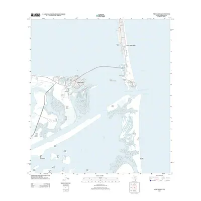
2013 Port Isabel
Cameron County, TX
2016 Port Isabel
Cameron County, TX
2019 Port Isabel
Cameron County, TX
2022 Port Isabel
Cameron County, TX
2025 Port Isabel
Cameron County, TX