
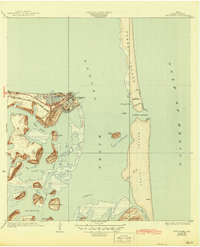
1956 Map of Port Isabel
USGS Topo · Published 1983About this map
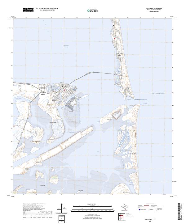
The Rio Grande serves as the international boundary at the southern edge of this coastal survey, where the river meets the Gulf of Mexico below Port Isabel. The landscape is defined by the vast Laguna Madre and the protective barrier of Padre Island National Seashore. Inland, the map reveals an extensive network of irrigation and flood control, including the Floodway and Arroyo Colorado, which support the agricultural settlements of the Rio Grande Valley. Rail infrastructure is prominent, with the Missouri Pacific and Southern Pacific lines connecting hubs like Harlingen, Raymondville, and San Benito. A legacy of large-scale ranching is evident in the north through the Armstrong Ranch and Norias stations. This edition also highlights maritime navigation via the Brownsville Ship Channel and the conservation lands of the Laguna Atascosa National Wildlife Refuge.
Find a feature on this map
81 named features on this map. Tap any name to fly to it.
Don’t see what you’re looking for? This feature index may not catch every label — zoom into the map to look around manually.
Map Details
Editions of this 1956 Port Isabel Map
This is the sole edition of this map. No revisions or reprints were ever made.
Historical Maps of Brownsville Through Time
10 maps found
1934 Port Isabel
Cameron County, TX
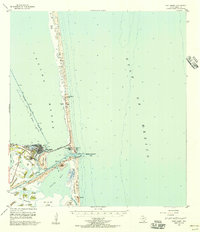
1955 Port Isabel
Cameron County, TX
1955 Port Isabel
Cameron County, TX
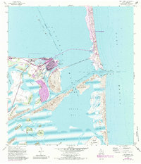
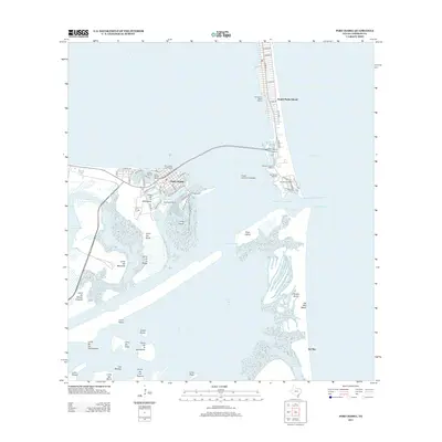
1956 Port Isabel
Cameron County, TX
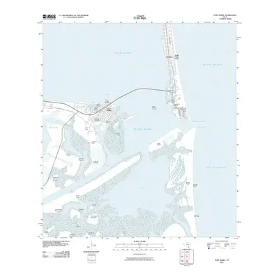
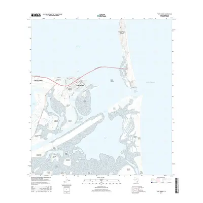
2010 Port Isabel
Cameron County, TX
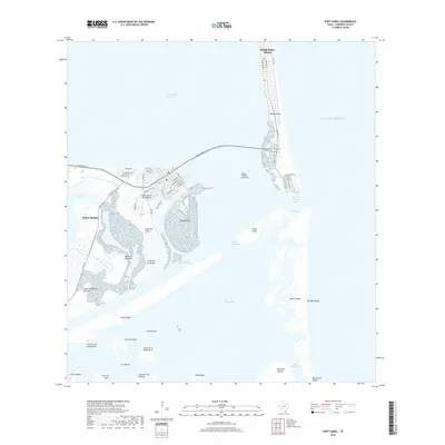
2013 Port Isabel
Cameron County, TX
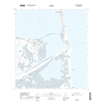
2016 Port Isabel
Cameron County, TX
2019 Port Isabel
Cameron County, TX
2022 Port Isabel
Cameron County, TX
2025 Port Isabel
Cameron County, TX