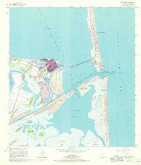
1955 Map of Port Isabel
USGS Topo · Published 1971About this map
The coastal environment of Port Isabel and its surrounding lagoons is defined by a complex network of man-made navigation routes and natural barrier island formations. This survey captures the area as the Queen Isabella Causeway linked the mainland to South Padre Island, facilitating the growth of tourism at Isla Blanca Park. The maritime economy is evident in the engineered Brownsville Ship Channel and the Intracoastal Waterway, while vestiges of earlier transport appear in the Old Railroad Grade near Laguna Heights. To the south, the landscape dissolves into a series of lomas, including Loma de la Palangana and Loma del Islote, rising above the flats of South Bay. These higher elevations, or clay dunes, provide distinct landforms amidst the shifting topography of Brazos Island and its Shifting Sand Dunes.
Find a feature on this map
44 named features on this map. Tap any name to fly to it.
Don’t see what you’re looking for? This feature index may not catch every label — zoom into the map to look around manually.
Map Details
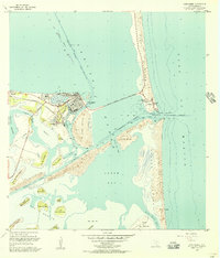
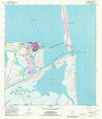
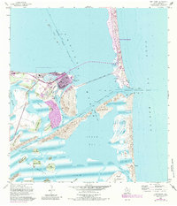
Editions of this 1955 Port Isabel Map
4 editions found
Other maps of this area

1929 · La Coma
USGS Topo · 1:24,000

1929 · Palmito Hill
USGS Topo · 1:24,000

1929 · Point Isabel
USGS Topo · 1:24,000

1929 · Laguna Vista
USGS Topo · 1:24,000

1930 · Padre Island No. 1
USGS Topo · 1:24,000

1934 · Port Isabel
USGS Topo · 1:31,680

1934 · La Coma
USGS Topo · 1:31,680

1935 · Padre Island No 1
USGS Topo · 1:31,680

1936 · Palmito Hill
USGS Topo · 1:31,680

1936 · Laguna Vista
USGS Topo · 1:31,680