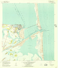
1955 Map of Port Isabel
USGS Topo · Published 1957About this map
The coastal waters and barrier islands of South Texas define this mid-century survey, centered on the activity of Port Isabel. The map illustrates the town's maritime and industrial reliance during the mid-1950s, featuring the Port Isabel Turning Basin, an oil Refinery, and the Missouri Pacific railroad line termination. Significant infrastructure projects are visible, including the Queen Isabella Causeway stretching across the Laguna Madre to Padre Island. To the south, the landscape transitions into a series of distinctive coastal elevations known as lomas, such as Loma de la Banderita and Loma del Gato, scattered throughout the wetlands of Los Montes. The strategic importance of the Brazos Santiago Pass is highlighted by the US Coast Guard Station and Radio Beacon guarding the inlet between the shifting dunes of the barrier islands.
Find a feature on this map
50 named features on this map. Tap any name to fly to it.
Don’t see what you’re looking for? This feature index may not catch every label — zoom into the map to look around manually.
Map Details
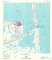
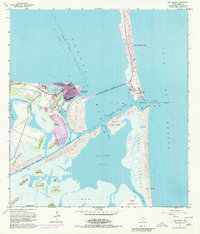
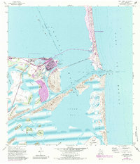
Editions of this 1955 Port Isabel Map
4 editions found
Other maps of this area

1929 · La Coma
USGS Topo · 1:24,000

1929 · Palmito Hill
USGS Topo · 1:24,000

1929 · Point Isabel
USGS Topo · 1:24,000

1929 · Laguna Vista
USGS Topo · 1:24,000

1930 · Padre Island No. 1
USGS Topo · 1:24,000

1934 · Port Isabel
USGS Topo · 1:31,680

1934 · La Coma
USGS Topo · 1:31,680

1935 · Padre Island No 1
USGS Topo · 1:31,680

1936 · Palmito Hill
USGS Topo · 1:31,680

1936 · Laguna Vista
USGS Topo · 1:31,680