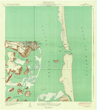
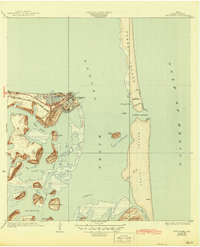
1934 Map of Port Isabel
USGS Topo · Published 1934About this map
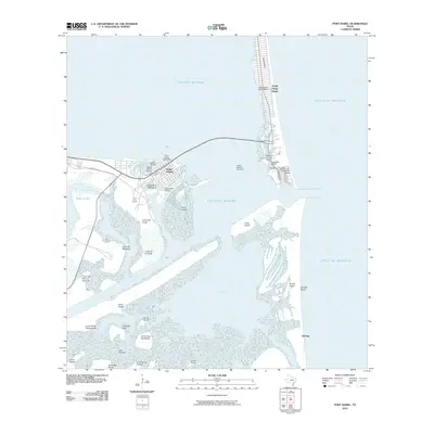
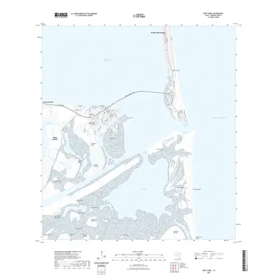
Port Isabel serves as the focal point of this coastal survey, showcasing a landscape of barrier islands and tidal flats just years after its official incorporation. The town's grid is connected to the mainland via State No 100 and the Rio Grande Valley RR, which terminated near the water's edge to facilitate local trade. Eastward across the Laguna Madre, the narrow expanse of Padre Island features a hotel at Tarpon Beach and the Brazos Coast Guard Sta, guarding the crucial Brazos Santiago inlet.
Find a feature on this map
40 named features on this map. Tap any name to fly to it.
Don’t see what you’re looking for? This feature index may not catch every label — zoom into the map to look around manually.
Map Details
Editions of this 1934 Port Isabel Map
2 editions found
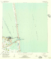
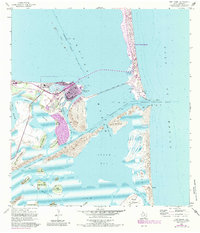
Historical Maps of Port Isabel Through Time
10 maps found
1934 Port Isabel
Cameron County, TX
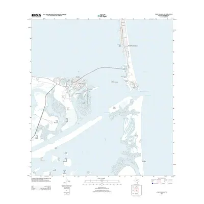
1955 Port Isabel
Cameron County, TX
1955 Port Isabel
Cameron County, TX

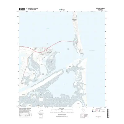
1956 Port Isabel
Cameron County, TX
2010 Port Isabel
Cameron County, TX
2013 Port Isabel
Cameron County, TX
2016 Port Isabel
Cameron County, TX
2019 Port Isabel
Cameron County, TX
2022 Port Isabel
Cameron County, TX
2025 Port Isabel
Cameron County, TX