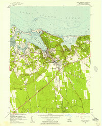
1955 Map of Port Jefferson
USGS Topo · Published 1957About this map
The deep harbor of Port Jefferson Harbor anchors this mid-century survey of the Suffolk County coastline. The village of Port Jefferson serves as a central hub, where the Long Island Railroad terminates near the concentration of healthcare facilities like St Charles Hospital and Mather Memorial Hospital. The landscape transitions from the developed maritime and rail corridors to the coastal estates of Belle Terre and the sandy reaches of Old Field Beach.
Find a feature on this map
64 named features on this map. Tap any name to fly to it.
Don’t see what you’re looking for? This feature index may not catch every label — zoom into the map to look around manually.
Map Details
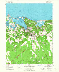
Editions of this 1955 Port Jefferson Map
2 editions found
Other maps of this area

1891 · Bridgeport
USGS Topo · 1:62,500

1893 · Bridgeport
USGS Topo · 1:62,500

1902 · Setauket
USGS Topo · 1:62,500

1904 · Setauket
USGS Topo · 1:62,500

1904 · Islip
USGS Topo · 1:125,000

1904 · Moriches
USGS Topo · 1:62,500

1919 · Setauket
USGS Topo · 1:62,500

1920 · Bridgeport
USGS Topo · 1:62,500

1942 · Islip
USGS Topo · 1:125,000
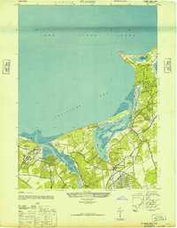
1947 · St James
USGS Topo · 1:24,000