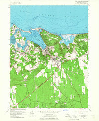
1955 Map of Port Jefferson
USGS Topo · Published 1966About this map
Port Jefferson Harbor serves as the central hub of this mid-century Long Island landscape, connecting the bustling maritime village of Port Jefferson to the Long Island Sound. The map captures a period of transition where the historical colonial roots of Setauket and East Setauket—marked by landmarks like the Caroline Ch and the Thompson House—exist alongside the postwar growth of Port Jefferson Station and Terryville. The terrain is defined by the deep indentations of Conscience Bay and Mt Sinai Harbor, separated by high ground like Mount Misery.
Find a feature on this map
67 named features on this map. Tap any name to fly to it.
Don’t see what you’re looking for? This feature index may not catch every label — zoom into the map to look around manually.
Map Details
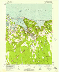
Editions of this 1955 Port Jefferson Map
2 editions found
Other maps of this area

1891 · Bridgeport
USGS Topo · 1:62,500

1893 · Bridgeport
USGS Topo · 1:62,500

1902 · Setauket
USGS Topo · 1:62,500

1904 · Setauket
USGS Topo · 1:62,500

1904 · Islip
USGS Topo · 1:125,000

1904 · Moriches
USGS Topo · 1:62,500

1919 · Setauket
USGS Topo · 1:62,500

1920 · Bridgeport
USGS Topo · 1:62,500

1942 · Islip
USGS Topo · 1:125,000
1947 · St James
USGS Topo · 1:24,000