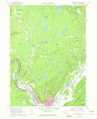
1969 Map of Port Jervis North
USGS Topo · Published 1977About this map
Port Jervis sits at the dramatic confluence of the Delaware River and the Neversink River, serving as a focal point for late 1960s industry and transport where New York, Pennsylvania, and New Jersey meet. The Erie-Lackawanna railroad tracks parallel the riverbanks, supporting a landscape defined by water management and transit. Three major reservoirs—Reservoir No. 1, Reservoir No. 2, and Reservoir No. 3—are tucked into the hills above the city, while several swamps like Steeny Kill Swamp and Long Swamp dominate the northern terrain.
Find a feature on this map
74 named features on this map. Tap any name to fly to it.
Don’t see what you’re looking for? This feature index may not catch every label — zoom into the map to look around manually.
Map Details
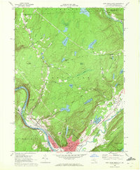
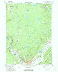
Editions of this 1969 Port Jervis North Map
Other maps of this area

1906 · Port Jervis
USGS Topo · 1:62,500

1908 · Port Jervis
USGS Topo · 1:62,500

1909 · Monticello
USGS Topo · 1:62,500

1911 · Monticello
USGS Topo · 1:62,500

1913 · Milford
USGS Topo · 1:62,500

1915 · Milford
USGS Topo · 1:62,500

1922 · White Lake
USGS Topo · 1:62,500

1942 · White Lake
USGS Topo · 1:62,500

1942 · Port Jervis North
USGS Topo · 1:24,000
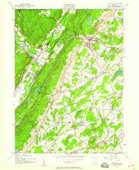
1942 · Otisville
USGS Topo · 1:24,000