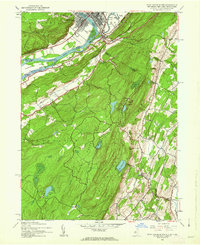
1943 Map of Port Jervis South
USGS Topo · Published 1962About this map
Port Jervis and Matamoras anchor this 1943 survey, marking the convergence of the Delaware River and the Neversink River at the junction of three states. The landscape is defined by the steep elevation change leading toward the summit of High Point, where Lake Marcia sits high above the river valley. The transportation network of the era is clearly visible, featuring the Erie RR corridor and the Matamoras Airport with its Airway Beacon. Rural life in Montague and Wantage is documented through small settlements like Duttonville and Colesville, and a series of district educational sites including River School No 1, Church School, and Clove Sch. This map provides a detailed view of the tri-state border region before significant mid-century suburban expansion, showing a landscape still dominated by forests, swamps like Cedar Swamp, and isolated upland lakes.
Find a feature on this map
41 named features on this map. Tap any name to fly to it.
Don’t see what you’re looking for? This feature index may not catch every label — zoom into the map to look around manually.
Map Details
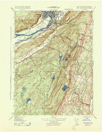
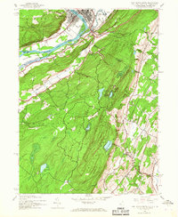
Editions of this 1943 Port Jervis South Map
3 editions found
Other maps of this area

1888 · Franklin
USGS Topo · 1:62,500

1891 · Wallpack
USGS Topo · 1:62,500

1893 · Wallpack
USGS Topo · 1:62,500

1894 · Franklin
USGS Topo · 1:62,500

1897 · Franklin
USGS Topo · 1:62,500

1903 · Franklin Furnace
USGS Topo · 1:62,500

1906 · Port Jervis
USGS Topo · 1:62,500

1908 · Port Jervis
USGS Topo · 1:62,500

1913 · Milford
USGS Topo · 1:62,500

1915 · Milford
USGS Topo · 1:62,500