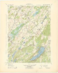
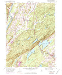
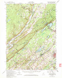
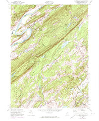
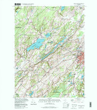
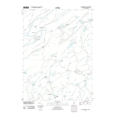
1943 Map of Port Jervis South
USGS Topo · Published 1967About this map
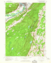
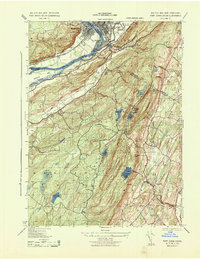
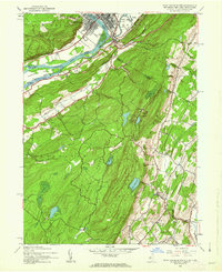
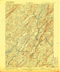
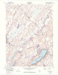
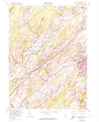
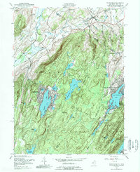
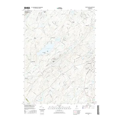
The Delaware River serves as the convergence point for three states in this mid-century survey, where Port Jervis, New York, and Matamoras, Pennsylvania, face one another across the water. The landscape is dominated by the steep ascent toward High Point, where Lake Marcia and Steeny Kill Lake sit perched above the river valley. The map documents the early infrastructure of High Point State Park and Stokes State Forest during a period when local rural education was still anchored by sites like River School No 1 and Clove Sch. Transportation and industry are centered on the river's path, featuring the E R R rail lines and a Rock Quarry near Duttonville. Small hamlets such as Colesville and Tristates illustrate the settlement patterns of the Kittatinny Mountains before the expansion of modern highway systems.
Find a feature on this map
43 named features on this map. Tap any name to fly to it.
Don’t see what you’re looking for? This feature index may not catch every label — zoom into the map to look around manually.
Map Details
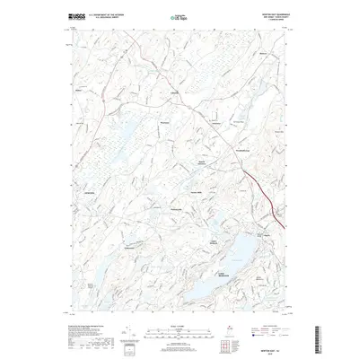
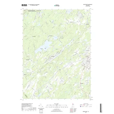
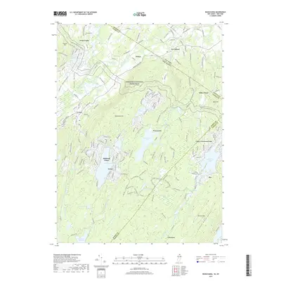
Editions of this 1943 Port Jervis South Map
3 editions found
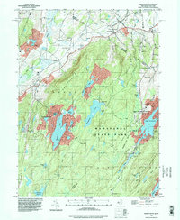
Historical Maps of Wantage Through Time
41 maps found
1903 Franklin Furnace
Sussex County, NJ

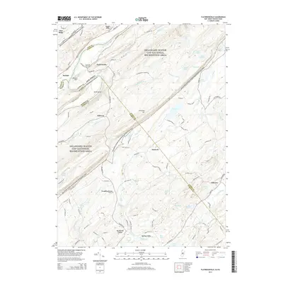
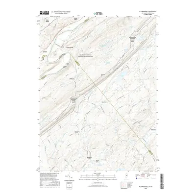
1943 Flatbrookville
Sussex County, NJ

1943 Franklin Furnace
Sussex County, NJ
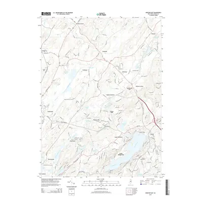
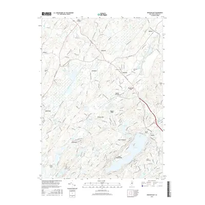
1943 Newton East
Sussex County, NJ
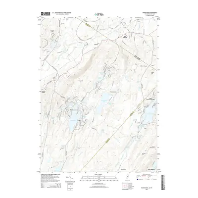
1943 Port Jervis South
Sussex County, NJ
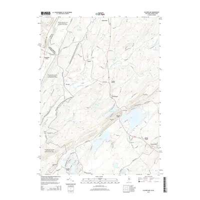
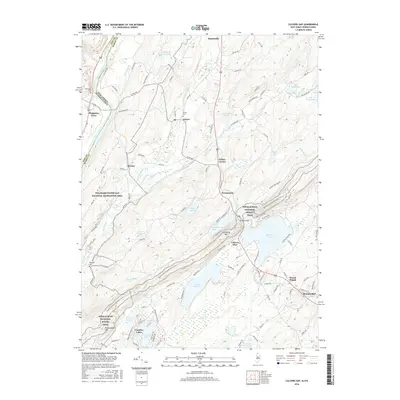
1954 Culvers Gap
Sussex County, NJ
1954 Dingmans Ferry
Sussex County, NJ
1954 Flatbrookville
Sussex County, NJ
1954 Newton East
Sussex County, NJ
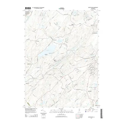
1954 Newton West
Sussex County, NJ
1954 Wawayanda
Sussex County, NJ
1976 Flatbrookville
Sussex County, NJ

1992 Flatbrookville
Sussex County, NJ
1994 Newton West
Sussex County, NJ
1994 Wawayanda
Sussex County, NJ
1997 Flatbrookville
Sussex County, NJ
2011 Culvers Gap
Sussex County, NJ
2011 Flatbrookville
Sussex County, NJ
2011 Newton East
Sussex County, NJ
2011 Newton West
Sussex County, NJ
2011 Wawayanda
Sussex County, NJ
2014 Culvers Gap
Sussex County, NJ
2014 Flatbrookville
Sussex County, NJ
2014 Newton East
Sussex County, NJ
2014 Newton West
Sussex County, NJ
2014 Wawayanda
Sussex County, NJ
2016 Culvers Gap
Sussex County, NJ
2016 Flatbrookville
Sussex County, NJ
2016 Newton East
Sussex County, NJ
2016 Newton West
Sussex County, NJ
2016 Wawayanda
Sussex County, NJ
2019 Culvers Gap
Sussex County, NJ
2019 Flatbrookville
Sussex County, NJ
2019 Newton East
Sussex County, NJ
2019 Newton West
Sussex County, NJ
2019 Wawayanda
Sussex County, NJ
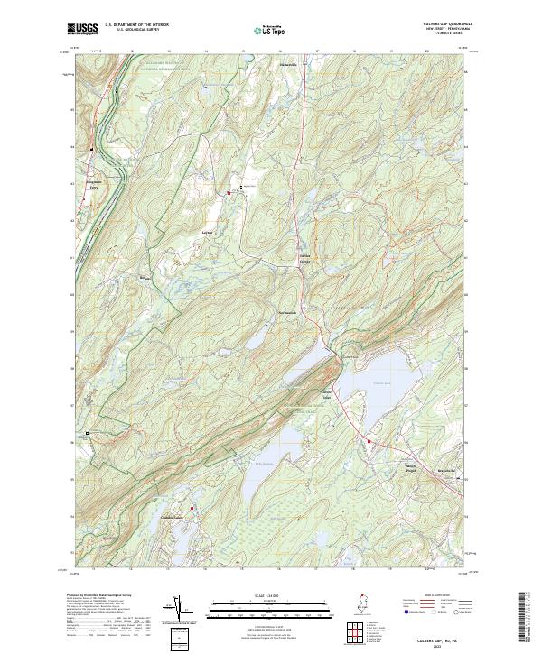
2023 Culvers Gap
Sussex County, NJ
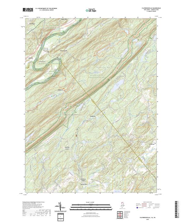
2023 Flatbrookville
Sussex County, NJ
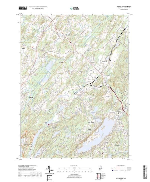
2023 Newton East
Sussex County, NJ
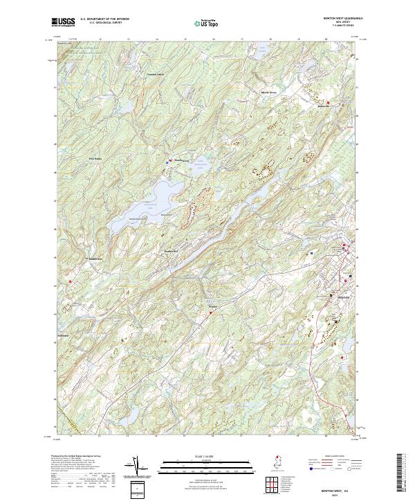
2023 Newton West
Sussex County, NJ
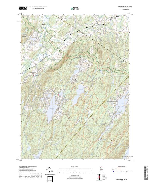
2023 Wawayanda
Sussex County, NJ