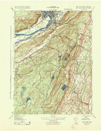
1943 Map of Port Jervis South
USGS Topo · Published 1943About this map
The tri-state intersection of New York, New Jersey, and Pennsylvania defines this mid-century landscape where the Neversink River meets the Delaware River. At the heart of the map, the industrial and transport hub of Port Jervis and neighboring Matamoras are connected by the Erie railroad and the 209 highway. The terrain rises sharply away from the river valleys into the uplands of High Point State Park, featuring numerous bodies of water such as Lake Marcia and the Lake Rutherford Sussex Co Water Supply.
Find a feature on this map
41 named features on this map. Tap any name to fly to it.
Don’t see what you’re looking for? This feature index may not catch every label — zoom into the map to look around manually.
Map Details
Editions of this 1943 Port Jervis South Map
3 editions found
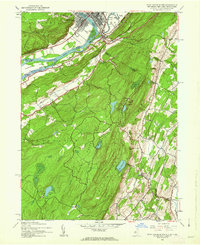
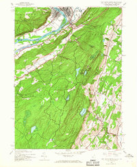
Other maps of this area

1888 · Franklin
USGS Topo · 1:62,500

1891 · Wallpack
USGS Topo · 1:62,500

1893 · Wallpack
USGS Topo · 1:62,500

1894 · Franklin
USGS Topo · 1:62,500

1897 · Franklin
USGS Topo · 1:62,500

1903 · Franklin Furnace
USGS Topo · 1:62,500

1906 · Port Jervis
USGS Topo · 1:62,500

1908 · Port Jervis
USGS Topo · 1:62,500

1913 · Milford
USGS Topo · 1:62,500

1915 · Milford
USGS Topo · 1:62,500