Loading...
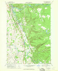
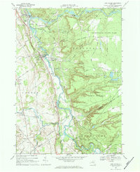
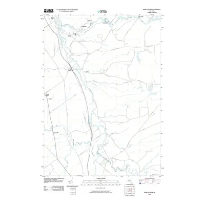
Loading map...1966 Map of Port Leyden
USGS Topo · Published 1970About this map
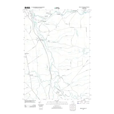
The Black River and Moose River confluence serves as the industrial and social heart of this Lewis County landscape during the mid-1960s. The village of Lyons Falls sits at this major junction, while Port Leyden anchors the southern river corridor, both connected by the tracks of the Penn Central railroad. This river-and-rail economy is evidenced by local industry such as Goulds Mill and several gravel operations.
Find a feature on this map
68 named features on this map. Tap any name to fly to it.
Don’t see what you’re looking for? This feature index may not catch every label — zoom into the map to look around manually.
Map Details
Date Portrayed1966
Date Published1970
PublisherU.S. Geological Survey
Map TypeTopographic
Scale1:24,000
Physical Dimensions22.1 x 27 inches
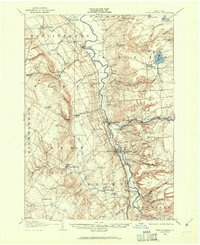
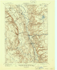
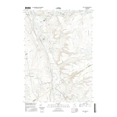
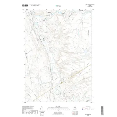
Editions of this 1966 Port Leyden Map
2 editions found
Historical Maps of Boonville Through Time
9 maps found


Featured Locations
Source Details
SourceU.S. Geological Survey
CopyrightPublic Domain