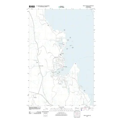
2011 Map of Port Ludlow
USGS Topo · Published 2011About this map
The coastal waters of Admiralty Inlet and Hood Canal define this portion of the Olympic Peninsula, where maritime activity and residential development meet. The protected waters of Port Ludlow serve as a central hub, anchored by the Port Ludlow Marina and the nearby Port Ludlow Post Office. This 2011 survey documents the established settlements of Swansonville and Mats Mats, while highlighting the industrial footprint of the Mats Mats Quarry near the shoreline.
Find a feature on this map
73 named features on this map. Tap any name to fly to it.
Don’t see what you’re looking for? This feature index may not catch every label — zoom into the map to look around manually.
Map Details
Editions of this 2011 Port Ludlow Map
This is the sole edition of this map. No revisions or reprints were ever made.
Other maps of this area

1937 · Port Gamble
USGS Topo · 1:62,500

1939 · Port Townsend
USGS Topo · 1:62,500

1939 · Coupeville
USGS Topo · 1:62,500

1940 · Port Gamble
USGS Topo · 1:62,500

1940 · Quilcene
USGS Topo · 1:62,500

1953 · Quilcene
USGS Topo · 1:24,000

1953 · Hansville
USGS Topo · 1:24,000

1953 · Freeland
USGS Topo · 1:24,000
1953 · Port Gamble
USGS Topo · 1:24,000

1953 · Nordland
USGS Topo · 1:24,000