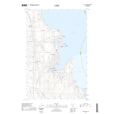
2020 Map of Port Ludlow
USGS Topo · Published 2020About this map
Port Ludlow anchors this coastal landscape where the waters of Admiralty Inlet meet the northern reaches of Hood Canal. The terrain is defined by protected inlets and prominent headlands like Tala Point and Olele Point, creating a jagged shoreline that has long supported maritime and residential communities. Inland from the harbor, the settlement of Swansonville and the agricultural stretch of Beaver Valley show a transition from the seafaring coast to more timbered and pastoral uplands.
Find a feature on this map
84 named features on this map. Tap any name to fly to it.
Don’t see what you’re looking for? This feature index may not catch every label — zoom into the map to look around manually.
Map Details
Editions of this 2020 Port Ludlow Map
This is the sole edition of this map. No revisions or reprints were ever made.
Other maps of this area
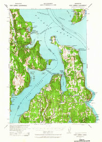
1937 · Port Gamble
USGS Topo · 1:62,500
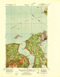
1939 · Port Townsend
USGS Topo · 1:62,500
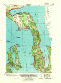
1939 · Coupeville
USGS Topo · 1:62,500
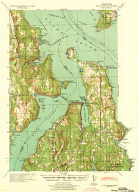
1940 · Port Gamble
USGS Topo · 1:62,500
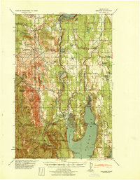
1940 · Quilcene
USGS Topo · 1:62,500
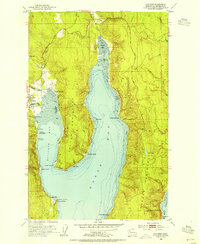
1953 · Quilcene
USGS Topo · 1:24,000
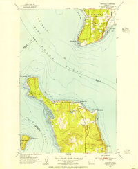
1953 · Hansville
USGS Topo · 1:24,000
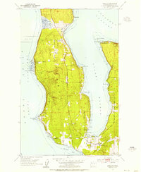
1953 · Freeland
USGS Topo · 1:24,000
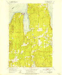
1953 · Port Gamble
USGS Topo · 1:24,000
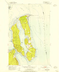
1953 · Nordland
USGS Topo · 1:24,000