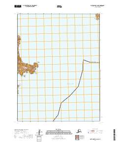
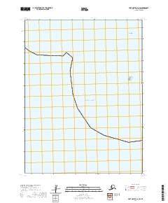
2020 Map of Port Moller A-2 NE
USGS Topo · Published 2020About this map
Popof Island dominates the northern reaches of this coastal survey, where the prominent Popof Head stands watch over the Pacific Ocean. This maritime landscape is defined by its treacherous rocky outcrops and navigational hazards, including the isolated Kelly Rock and the aptly named Halfway Rock situated between the larger landmasses. The surrounding waters of Popof Strait separate these islands from the mainland, creating a complex series of channels and inlets such as Shoal Bay.
Find a feature on this map
13 named features on this map. Tap any name to fly to it.
Don’t see what you’re looking for? This feature index may not catch every label — zoom into the map to look around manually.
Map Details
Editions of this 2020 Port Moller A-2 NE Map
This is the sole edition of this map. No revisions or reprints were ever made.
Other maps of this area

1953 · Port Moller
USGS Topo · 1:250,000

1963 · Port Moller A-1
USGS Topo · 1:63,360

1963 · Port Moller A-2
USGS Topo · 1:63,360

1963 · Port Moller B-2
USGS Topo · 1:63,360

1963 · Port Moller B-1
USGS Topo · 1:63,360

1988 · Port Moller
USGS Topo · 1:250,000
2020 · Port Moller A-1 NW
USGS Topo · 1:25,000
2020 · Port Moller A-1 SW
USGS Topo · 1:25,000
2020 · Port Moller A-2 NW
USGS Topo · 1:25,000
2020 · Port Moller A-2 SW
USGS Topo · 1:25,000