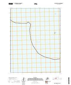
2020 Map of Port Moller A-2 SW
USGS Topo · Published 2020About this map
The vast reaches of the Pacific Ocean dominate this coastal survey along the Aleutian Peninsula. This maritime landscape is defined by its isolation and small outcrops of land that serve as crucial markers for navigation. To the northeast, the presence of Egg Island and the nearby Sealion Rocks provide rare terrestrial points of reference in an otherwise open expanse of water. These features are documented alongside the Public Land Survey System grids for t58s r75w, t58s r74w, and t59s r74w, which delineate the administrative structure of this remote Alaskan territory. The map illustrates the minimal development of this stretch of shoreline, focusing on the natural geography and essential hydrographic data of the region.
Find a feature on this map
6 named features on this map. Tap any name to fly to it.
Don’t see what you’re looking for? This feature index may not catch every label — zoom into the map to look around manually.
Map Details
Editions of this 2020 Port Moller A-2 SW Map
This is the sole edition of this map. No revisions or reprints were ever made.
Other maps of this area

1953 · Port Moller
USGS Topo · 1:250,000

1963 · Port Moller A-2
USGS Topo · 1:63,360
1963 · Port Moller A-3
USGS Topo · 1:63,360

1963 · Simeonof Island
USGS Topo · 1:250,000

1967 · Simeonof Island
USGS Topo · 1:250,000

1988 · Port Moller
USGS Topo · 1:250,000
2020 · Port Moller A-2 NW
USGS Topo · 1:25,000
2020 · Port Moller A-2 NE
USGS Topo · 1:25,000
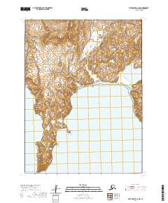
2020 · Port Moller A-3 NE
USGS Topo · 1:25,000
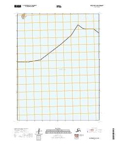
2020 · Port Moller A-3 SE
USGS Topo · 1:25,000