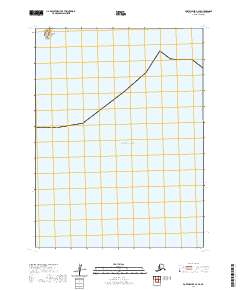
2020 Map of Port Moller A-3 SE
USGS Topo · Published 2020About this map
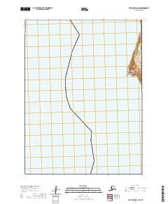
Acheredin Point marks a sharp topographic break on this section of the Alaska Peninsula coast, where the land meets the vast expanse of the Pacific Ocean. This coastal survey represents a sparsely documented reach of the Aleutians East Borough, focused almost entirely on the interaction between the maritime environment and the unpopulated shore. The map illustrates the sectional divisions of t58s r76w and t58s r75w, providing a framework for understanding land management and surveying boundaries in this remote maritime region as they existed in the early twenty-first century.
Find a feature on this map
4 named features on this map. Tap any name to fly to it.
Don’t see what you’re looking for? This feature index may not catch every label — zoom into the map to look around manually.
Map Details
Editions of this 2020 Port Moller A-3 SE Map
This is the sole edition of this map. No revisions or reprints were ever made.
Other maps of this area

1953 · Port Moller
USGS Topo · 1:250,000

1963 · Port Moller A-2
USGS Topo · 1:63,360
1963 · Port Moller A-3
USGS Topo · 1:63,360

1963 · Simeonof Island
USGS Topo · 1:250,000

1967 · Simeonof Island
USGS Topo · 1:250,000

1988 · Port Moller
USGS Topo · 1:250,000
2020 · Port Moller A-2 NW
USGS Topo · 1:25,000
2020 · Port Moller A-2 SW
USGS Topo · 1:25,000
2020 · Port Moller A-3 NW
USGS Topo · 1:25,000
2020 · Port Moller A-3 NE
USGS Topo · 1:25,000