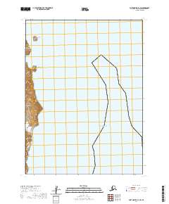
2020 Map of Port Moller B-1 SW
USGS Topo · Published 2020About this map
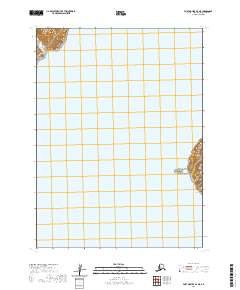
Popof Island dominates the western shoreline of this maritime study, where the coastal terrain transitions from the steep, labeled Dark Cliffs to the smaller island landmass of High Island. This corner of the Aleutians East Borough is defined by its dramatic exposure to the Pacific Ocean, with the interior contours of Popof Island rising sharply from the water's edge. The map documents a sparsely named but topographically complex marine environment, including the cove known as Fox Hole. The absence of roads or established settlements on this specific sheet reflects the remote, natural character of the islands in the Shumagin group during the early twenty-first century, emphasizing the prominence of geodetic landmarks and coastal features over human infrastructure.
Find a feature on this map
10 named features on this map. Tap any name to fly to it.
Don’t see what you’re looking for? This feature index may not catch every label — zoom into the map to look around manually.
Map Details
Editions of this 2020 Port Moller B-1 SW Map
This is the sole edition of this map. No revisions or reprints were ever made.
Other maps of this area

1953 · Port Moller
USGS Topo · 1:250,000

1963 · Port Moller A-1
USGS Topo · 1:63,360

1963 · Port Moller A-2
USGS Topo · 1:63,360

1963 · Port Moller B-2
USGS Topo · 1:63,360

1963 · Port Moller B-1
USGS Topo · 1:63,360

1988 · Port Moller
USGS Topo · 1:250,000
2020 · Port Moller A-1 NW
USGS Topo · 1:25,000
2020 · Port Moller A-1 NE
USGS Topo · 1:25,000
2020 · Port Moller B-1 NW
USGS Topo · 1:25,000
2020 · Port Moller B-2 NE
USGS Topo · 1:25,000