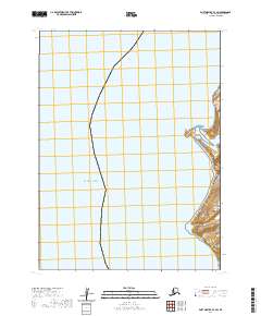
2020 Map of Port Moller B-3 SW
USGS Topo · Published 2020About this map
The vast expanse of the Pacific Ocean dominates this remote stretch of the Alaska Peninsula, where the coastline is defined by sharp topographic transitions. This 2020 survey documents a largely undeveloped maritime landscape characterized by significant coastal markers such as Bay Point and the prominent rise of Pinnacle Point. The map provides a detailed view of the shoreline geomorphology and the surrounding waters, offering a precise modern record of these landforms.
Find a feature on this map
10 named features on this map. Tap any name to fly to it.
Don’t see what you’re looking for? This feature index may not catch every label — zoom into the map to look around manually.
Map Details
Editions of this 2020 Port Moller B-3 SW Map
This is the sole edition of this map. No revisions or reprints were ever made.
Other maps of this area

1953 · Port Moller
USGS Topo · 1:250,000
1963 · Port Moller A-4
USGS Topo · 1:63,360
1963 · Port Moller A-3
USGS Topo · 1:63,360

1983 · Port Moller B-3
USGS Topo · 1:63,360
1983 · Port Moller B-4
USGS Topo · 1:63,360

1988 · Port Moller
USGS Topo · 1:250,000
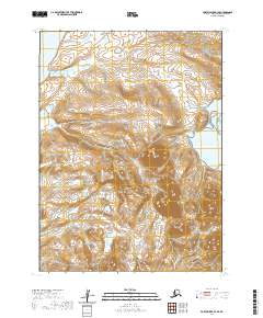
2020 · Port Moller B-3 SE
USGS Topo · 1:25,000
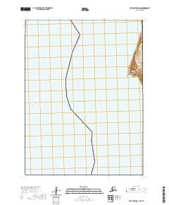
2020 · Port Moller A-3 NW
USGS Topo · 1:25,000
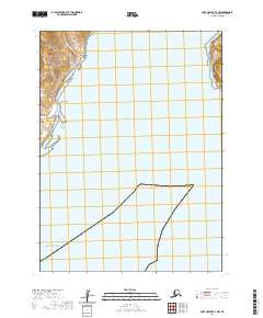
2020 · Port Moller B-3 NW
USGS Topo · 1:25,000
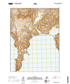
2020 · Port Moller A-3 NE
USGS Topo · 1:25,000