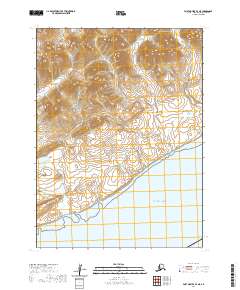
2020 Map of Port Moller B-4 NE
USGS Topo · Published 2020About this map
The Aleutian Range dominates this portion of the Alaska Peninsula, where the land descends sharply toward the Pacific Ocean. This high-altitude topography is defined by significant drainage systems, including the steep descent of Wolverine Gulch in the north and the lower-elevation path of Mino Cr as it approaches the coastline. The absence of roads or established settlements emphasizes the character of this maritime wilderness, where the landscape is shaped by the interaction of tectonic activity and coastal erosion along the southern Alaskan shore. Surveyed recently, the map detail focuses on the natural contours and township boundaries within T54S and T55S, illustrating the sheer scale of the peninsula's mountainous spine before it meets the sea.
Find a feature on this map
9 named features on this map. Tap any name to fly to it.
Don’t see what you’re looking for? This feature index may not catch every label — zoom into the map to look around manually.
Map Details
Editions of this 2020 Port Moller B-4 NE Map
This is the sole edition of this map. No revisions or reprints were ever made.
Other maps of this area

1953 · Port Moller
USGS Topo · 1:250,000

1983 · Port Moller B-3
USGS Topo · 1:63,360

1983 · Port Moller C-4
USGS Topo · 1:63,360
1983 · Port Moller B-4
USGS Topo · 1:63,360

1983 · Port Moller C-3
USGS Topo · 1:63,360

1988 · Port Moller
USGS Topo · 1:250,000
2020 · Port Moller B-3 SW
USGS Topo · 1:25,000
2020 · Port Moller B-3 NW
USGS Topo · 1:25,000
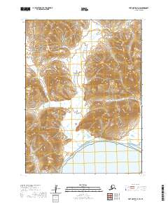
2020 · Port Moller C-3 SW
USGS Topo · 1:25,000
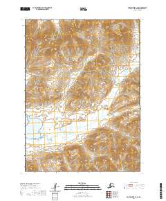
2020 · Port Moller C-4 SE
USGS Topo · 1:25,000