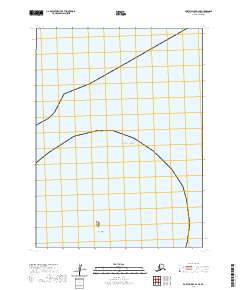
2020 Map of Port Moller B-4 SE
USGS Topo · Published 2020About this map
Jude Island sits as a solitary landform within this coastal expanse of the Pacific Ocean along the Alaska Peninsula. This 2020 survey illustrates the remote maritime environment of the Aleutians East Borough, where the landscape is defined almost entirely by open water and subtle shoreline changes. The mapping detail focuses on the bathymetry and maritime boundaries, specifically highlighting the intersection of several townships including t57s r78w and t57s r77w. The isolation of the landmass relative to the vast oceanic surroundings underscores the importance of such surveys for navigation and environmental monitoring in this subarctic region. Beyond the single island, the map provides a clear look at the public land survey system grid as it extends into the sea.
Find a feature on this map
7 named features on this map. Tap any name to fly to it.
Don’t see what you’re looking for? This feature index may not catch every label — zoom into the map to look around manually.
Map Details
Editions of this 2020 Port Moller B-4 SE Map
This is the sole edition of this map. No revisions or reprints were ever made.
Other maps of this area

1953 · Port Moller
USGS Topo · 1:250,000
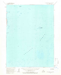
1963 · Port Moller A-4
USGS Topo · 1:63,360
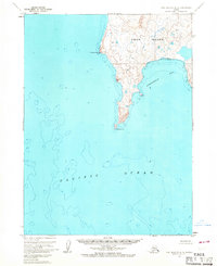
1963 · Port Moller A-3
USGS Topo · 1:63,360

1983 · Port Moller B-3
USGS Topo · 1:63,360
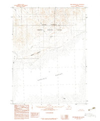
1983 · Port Moller B-4
USGS Topo · 1:63,360

1988 · Port Moller
USGS Topo · 1:250,000
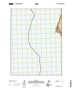
2020 · Port Moller A-3 NW
USGS Topo · 1:25,000
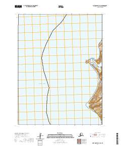
2020 · Port Moller B-3 SW
USGS Topo · 1:25,000
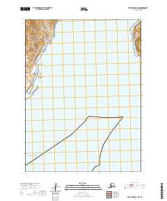
2020 · Port Moller B-3 NW
USGS Topo · 1:25,000
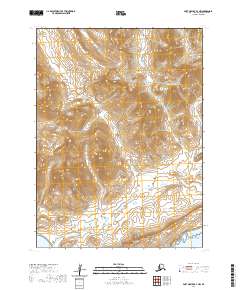
2020 · Port Moller B-4 NW
USGS Topo · 1:25,000