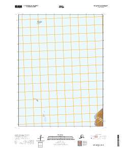
2020 Map of Port Moller B-5 NW
USGS Topo · Published 2020About this map
Pavlof Bay dominates the maritime geography of this portion of the Alaska Peninsula, where the waters of the North Pacific meet a sparsely inhabited coast. This nautical and topographic perspective is defined by isolated landforms rising from the bay, including Gull Island in the northern waters and Lump Island and Flat Island further south. The map illustrates the Public Land Survey System grid across the water, marking the boundaries of t54s r81w, t54s r80w, t55s r81w, and t55s r80w. The limited shoreline shown in the southeastern corner reveals steep coastal elevation, providing a clear view of the transition from the deep bay to the Aleutian Range terrain.
Find a feature on this map
8 named features on this map. Tap any name to fly to it.
Don’t see what you’re looking for? This feature index may not catch every label — zoom into the map to look around manually.
Map Details
Editions of this 2020 Port Moller B-5 NW Map
This is the sole edition of this map. No revisions or reprints were ever made.
Other maps of this area

1953 · Port Moller
USGS Topo · 1:250,000

1963 · Port Moller C-5
USGS Topo · 1:63,360

1963 · Port Moller C-6
USGS Topo · 1:63,360

1983 · Port Moller B-6
USGS Topo · 1:63,360
1983 · Port Moller B-5
USGS Topo · 1:63,360

1988 · Port Moller
USGS Topo · 1:250,000
2020 · Port Moller C-5 SE
USGS Topo · 1:25,000
2020 · Port Moller B-5 NE
USGS Topo · 1:25,000
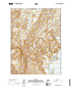
2020 · Port Moller C-6 SE
USGS Topo · 1:25,000
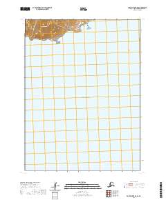
2020 · Port Moller B-5 SE
USGS Topo · 1:25,000