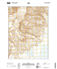
2020 Map of Port Moller B-6 SW
USGS Topo · Published 2020About this map
The Alaska Peninsula coastline meets the northern reaches of the Pacific Ocean in this coastal Alaskan survey. The landscape is defined by the significant saltwater indentation of Long John Lagoon, which dominates the southeastern quadrant of the map. This area is characterized by low-lying wetlands and a complex network of coastal inlets and tidal flats. Inland, the terrain rises steadily toward the northwest, where contour lines indicate a transition from the saturated coastal plain to more elevated, well-defined slopes. The absence of named settlements, roads, or human infrastructure reflects the extreme isolation of this maritime wilderness, where the primary geographical features are dictated by the shifting interface of water and land along the peninsula's southern shore.
Find a feature on this map
9 named features on this map. Tap any name to fly to it.
Don’t see what you’re looking for? This feature index may not catch every label — zoom into the map to look around manually.
Map Details
Editions of this 2020 Port Moller B-6 SW Map
This is the sole edition of this map. No revisions or reprints were ever made.
Other maps of this area

1943 · Fort Randall
USGS Topo · 1:250,000

1949 · Fort Randall
USGS Topo · 1:250,000

1950 · Fort Randall
USGS Topo · 1:250,000

1953 · Port Moller
USGS Topo · 1:250,000

1963 · Port Moller A-6
USGS Topo · 1:63,360

1983 · Port Moller B-6
USGS Topo · 1:63,360
1983 · Cold Bay A-1
USGS Topo · 1:63,360
1983 · Cold Bay B-1
USGS Topo · 1:63,360

1988 · Port Moller
USGS Topo · 1:250,000
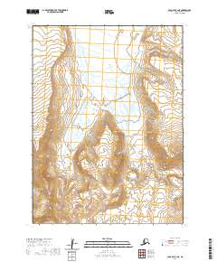
2020 · Cold Bay B-1 NE
USGS Topo · 1:25,000