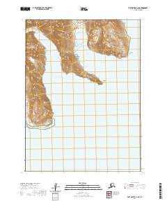
2020 Map of Port Moller C-1 NE
USGS Topo · Published 2020About this map
Stepovak Bay and its complex network of inlets define this maritime landscape along the Alaska Peninsula. The coastal geography is marked by prominent landforms such as Elephant Point, which extends into the waters between American Bay and Orzinski Bay. To the north, Clark Bay is framed by steep coastal elevations that rise sharply from the shoreline, a characteristic feature of this subarctic environment. The survey documents the exact coastal profile including Waterfall Point and Blunt Point, providing a precise record of the shoreline and maritime boundaries within the Aleutians East region. This 2020 edition presents the area's physical geography through high-resolution contour data, illustrating the transition from deep inlets to the high ridges of the interior.
Find a feature on this map
10 named features on this map. Tap any name to fly to it.
Don’t see what you’re looking for? This feature index may not catch every label — zoom into the map to look around manually.
Map Details
Editions of this 2020 Port Moller C-1 NE Map
This is the sole edition of this map. No revisions or reprints were ever made.
Other maps of this area

1951 · Stepovak Bay
USGS Topo · 1:250,000

1953 · Port Moller
USGS Topo · 1:250,000

1963 · Port Moller C-1
USGS Topo · 1:63,360

1963 · Stepovak Bay D-6
USGS Topo · 1:63,360

1963 · Stepovak Bay
USGS Topo · 1:250,000
1963 · Port Moller D-1
USGS Topo · 1:63,360

1969 · Stepovak Bay
USGS Topo · 1:250,000

1988 · Port Moller
USGS Topo · 1:250,000
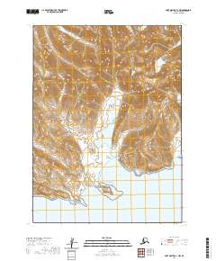
2020 · Port Moller C-1 NW
USGS Topo · 1:25,000
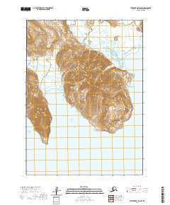
2020 · Stepovak Bay D-6 SW
USGS Topo · 1:25,000