
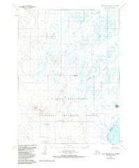
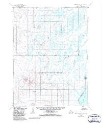
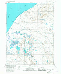
1963 Map of Port Moller C-6
USGS Topo · Published 1966About this map
Trader Mountain dominates the western interior of this 1963 coastal survey, rising above a network of waterways that define the Aleutian landscape. The area is characterized by a complex drainage system where Steelhead Creek and the David River flow toward the Bering Sea side, while the southern reaches meet the Pacific at Pavlof Bay. This coastal interface is marked by tidal features like Chinaman Lagoon and Jackson Lagoon, which provide protected waters along the jagged shoreline.
Find a feature on this map
11 named features on this map. Tap any name to fly to it.
Don’t see what you’re looking for? This feature index may not catch every label — zoom into the map to look around manually.
Map Details
Editions of this 1963 Port Moller C-6 Map
3 editions found
Other maps of this area

1943 · Fort Randall
USGS Topo · 1:250,000

1949 · Fort Randall
USGS Topo · 1:250,000

1950 · Fort Randall
USGS Topo · 1:250,000

1953 · Port Moller
USGS Topo · 1:250,000

1963 · Port Moller D-5
USGS Topo · 1:63,360

1963 · Port Moller C-5
USGS Topo · 1:63,360
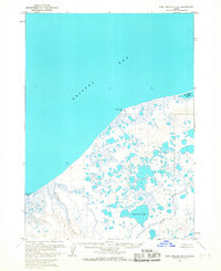
1963 · Port Moller D-6
USGS Topo · 1:63,360
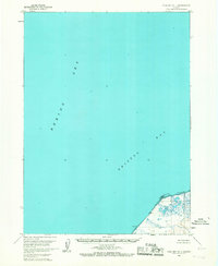
1963 · Cold Bay D-1
USGS Topo · 1:63,360
1963 · Cold Bay C-1
USGS Topo · 1:63,360

1983 · Port Moller B-6
USGS Topo · 1:63,360